Area Overview for RG9 1DP
Photos of RG9 1DP
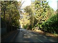
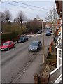
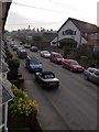
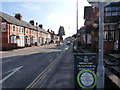
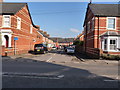
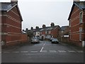
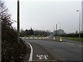
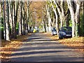

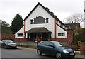
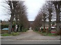
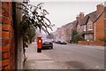
100 photos from this area
Area Information
Key information about the RG9 1DP including its size, population, and administrative classification.
- Area Type
- Postcode
- Area Size
- 5566 m²
- Population
- 1596
- Population Density
- 2142 people/km²
House Prices in RG9 1DP
18
Properties
£553,462
Average Sold Price
£177,000
Lowest Price
£915,000
Highest Price
Showing 18 properties
| Address | Type | Beds | Baths | Last Sale Price | Last Sale Date | |
|---|---|---|---|---|---|---|
| 155 Reading Road, Henley On Thames, RG9 1DP | Terraced | 4 | 2 | £915,000 | Sep 2024 | |
| 157 Reading Road, Henley On Thames, RG9 1DP | Terraced | 4 | - | £530,000 | Jul 2020 | |
| 163 Reading Road, Henley On Thames, RG9 1DP | Terraced | 4 | 2 | £625,000 | Nov 2017 | |
| 159 Reading Road, Henley On Thames, RG9 1DP | Terraced | 4 | 3 | £611,000 | Jan 2017 | |
| 161 Reading Road, Henley On Thames, RG9 1DP | Terraced | 4 | 1 | £650,000 | Dec 2016 | |
| 179 Reading Road, Henley On Thames, RG9 1DP | Semi-detached | 4 | 3 | £687,000 | May 2014 | |
| 175 Reading Road, Henley On Thames, RG9 1DP | Semi-detached | 4 | - | £615,000 | Oct 2013 | |
| 167A Reading Road, Henley On Thames, RG9 1DP | house | - | - | £545,000 | Oct 2011 | |
| 167 Reading Road, Henley On Thames, RG9 1DP | retail_financial | - | - | £585,000 | Oct 2011 | |
| 165 Reading Road, Henley On Thames, RG9 1DP | Terraced | 2 | 2 | £525,000 | Oct 2011 |
Page 1 of 2
Energy Efficiency in RG9 1DP
Amenities
Schools
| Rank | School | Type | Entry gender | Ages |
|---|
Explore more schools in this area
Go to Schools tabDemographics
Household Size
One person
most common
Accommodation Type
Houses
most common
Tenure
58
majority
Ethnic Group
White
most common
Religion
N/A
most common
Household Composition
N/A
most common
Age
47
median
Adults (30-64 years)
most common
Household Deprivation
N/A
with no deprivation
NS-SEC
45
in Lower managerial occupations
Explore more demographic insights in this area
Go to Demographics tabPlanning
Planning Constraints
- Flood RiskPremium
- Ramsar Wetland SitesPremium
- Area of Outstanding Natural BeautyPremium
- Protected Nature ReservePremium
- Protected WoodlandPremium