Area Overview for RG6 4JW
Photos of RG6 4JW
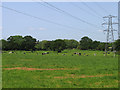


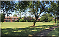
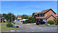
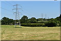
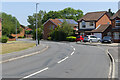


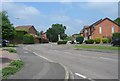
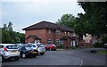
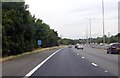
21 photos from this area
Area Information
Key information about the RG6 4JW including its size, population, and administrative classification.
- Area Type
- Postcode
- Area Size
- 7593 m²
- Population
- 1610
- Population Density
- 2633 people/km²
House Prices in RG6 4JW
18
Properties
£300,992
Average Sold Price
£101,000
Lowest Price
£584,950
Highest Price
Showing 18 properties
| Address | Type | Beds | Baths | Last Sale Price | Last Sale Date | |
|---|---|---|---|---|---|---|
| 6 Irvine Way, Earley, RG6 4JW | house | - | - | £485,000 | Sep 2024 | |
| 5 Irvine Way, Earley, RG6 4JW | Detached | 5 | 2 | £570,000 | Jun 2019 | |
| 11 Irvine Way, Earley, RG6 4JW | Detached | 4 | - | £584,950 | Mar 2016 | |
| 20 Irvine Way, Earley, RG6 4JW | Detached | 3 | - | £400,000 | Dec 2014 | |
| 2 Irvine Way, Earley, RG6 4JW | house | - | - | £250,000 | Sep 2014 | |
| 14 Irvine Way, Earley, RG6 4JW | Detached | - | - | £250,000 | Nov 2005 | |
| 4 Irvine Way, Earley, RG6 4JW | Detached | - | - | £239,950 | May 2004 | |
| 10 Irvine Way, Earley, RG6 4JW | Detached | - | - | £242,000 | Nov 2002 | |
| 7 Irvine Way, Earley, RG6 4JW | Detached | - | - | £186,500 | Jul 2000 | |
| 1 Irvine Way, Earley, RG6 4JW | Detached | 4 | 1 | £167,500 | Jul 2000 |
Page 1 of 2
Energy Efficiency in RG6 4JW
Amenities
Schools
| Rank | School | Type | Entry gender | Ages |
|---|
Explore more schools in this area
Go to Schools tabDemographics
Household Size
Family (3-5 people)
most common
Accommodation Type
Houses
most common
Tenure
82
majority
Ethnic Group
White
most common
Religion
N/A
most common
Household Composition
N/A
most common
Age
47
median
Adults (30-64 years)
most common
Household Deprivation
N/A
with no deprivation
NS-SEC
51
in Lower managerial occupations
Explore more demographic insights in this area
Go to Demographics tabPlanning
Planning Constraints
- Flood RiskPremium
- Ramsar Wetland SitesPremium
- Area of Outstanding Natural BeautyPremium
- Protected Nature ReservePremium
- Protected WoodlandPremium