Area Overview for RG6 1PG
Photos of RG6 1PG
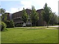
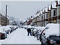
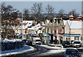
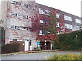
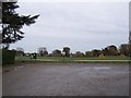
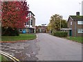
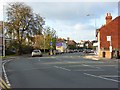
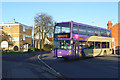
88 photos from this area
Area Information
Key information about the RG6 1PG including its size, population, and administrative classification.
- Area Type
- Postcode
- Area Size
- 1.2 hectares
- Population
- 2139
- Population Density
- 6418 people/km²
House Prices in RG6 1PG
33
Properties
£383,237
Average Sold Price
£115,000
Lowest Price
£790,000
Highest Price
Showing 33 properties
| Address | Type | Beds | Baths | Last Sale Price | Last Sale Date | |
|---|---|---|---|---|---|---|
| 139 St Peters Road, Reading, RG6 1PG | Semi-detached | 5 | 2 | £605,000 | Jun 2025 | |
| 151 St Peters Road, Reading, RG6 1PG | Detached | 4 | 2 | £790,000 | Aug 2023 | |
| 159 St Peters Road, Reading, RG6 1PG | Terraced | 3 | 2 | £725,000 | Jan 2023 | |
| 157 St Peters Road, Reading, RG6 1PG | house | - | - | £600,000 | Aug 2022 | |
| 105 St Peters Road, Reading, RG6 1PG | Terraced | 3 | 1 | £398,000 | Mar 2022 | |
| 101 St Peters Road, Reading, RG6 1PG | house | - | - | £405,000 | Aug 2020 | |
| 137 St Peters Road, Reading, RG6 1PG | Semi-detached | 4 | 2 | £395,000 | Sep 2019 | |
| 117 St Peters Road, Reading, RG6 1PG | Semi-detached | 3 | 1 | £420,500 | Sep 2018 | |
| 121 St Peters Road, Reading, RG6 1PG | Semi-detached | 3 | 1 | £390,000 | Dec 2017 | |
| 149 St Peters Road, Reading, RG6 1PG | Detached | 3 | 1 | £498,000 | Jun 2017 |
Page 1 of 4
Energy Efficiency in RG6 1PG
Amenities
Schools
| Rank | School | Type | Entry gender | Ages |
|---|
Explore more schools in this area
Go to Schools tabDemographics
Household Size
Family (3-5 people)
most common
Accommodation Type
Houses
most common
Tenure
65
majority
Ethnic Group
White
most common
Religion
N/A
most common
Household Composition
N/A
most common
Age
47
median
Adults (30-64 years)
most common
Household Deprivation
N/A
with no deprivation
NS-SEC
44
in Lower managerial occupations
Explore more demographic insights in this area
Go to Demographics tabPlanning
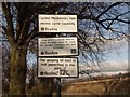
Planning Constraints
- Flood RiskPremium
- Ramsar Wetland SitesPremium
- Area of Outstanding Natural BeautyPremium
- Protected Nature ReservePremium
- Protected WoodlandPremium