Area Overview for RG42 2JU
Photos of RG42 2JU
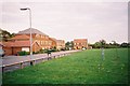
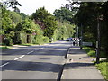

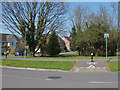
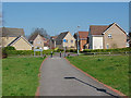
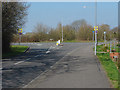
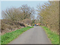
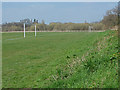
34 photos from this area
Area Information
Key information about the RG42 2JU including its size, population, and administrative classification.
- Area Type
- Postcode
- Area Size
- 1.5 hectares
- Population
- 1599
- Population Density
- 4021 people/km²
House Prices in RG42 2JU
14
Properties
£619,770
Average Sold Price
£190,000
Lowest Price
£1,415,000
Highest Price
Showing 14 properties
| Address | Type | Beds | Baths | Last Sale Price | Last Sale Date | |
|---|---|---|---|---|---|---|
| 5 Priory Lane, Bracknell, RG42 2JU | Retail | 5 | 3 | £1,415,000 | Dec 2022 | |
| Rivendell, 8A Priory Lane, Warfield, Bracknell, RG42 2JU | Detached | 3 | 2 | £590,000 | Apr 2021 | |
| 11 Priory Lane, Bracknell, RG42 2JU | Detached | 4 | - | £735,000 | Mar 2015 | |
| 13 Priory Lane, Warfield, Bracknell, RG42 2JU | house | - | - | £630,000 | Nov 2014 | |
| 15 Priory Lane, Warfield, Bracknell, RG42 2JU | house | - | - | £530,000 | May 2014 | |
| Tomar House, 7 Priory Lane, Bracknell, RG42 2JU | house | 1 | - | £700,000 | Jun 2012 | |
| Nutcroft, 20 Priory Lane, Warfield, Bracknell, RG42 2JU | Detached | 4 | 3 | £680,000 | Nov 2005 | |
| 1 Priory Lane, Bracknell, RG42 2JU | Detached | - | - | £497,700 | Jul 2005 | |
| 17 Priory Lane, Warfield, Bracknell, RG42 2JU | Detached | - | - | £230,000 | Nov 1997 | |
| Oak Lodge, 1A Priory Lane, Bracknell, RG42 2JU | Detached | - | - | £190,000 | Aug 1996 |
Page 1 of 2
Energy Efficiency in RG42 2JU
Amenities
Schools
| Rank | School | Type | Entry gender | Ages |
|---|
Explore more schools in this area
Go to Schools tabDemographics
Household Size
Family (3-5 people)
most common
Accommodation Type
Houses
most common
Tenure
69
majority
Ethnic Group
White
most common
Religion
N/A
most common
Household Composition
N/A
most common
Age
47
median
Adults (30-64 years)
most common
Household Deprivation
N/A
with no deprivation
NS-SEC
41
in Lower managerial occupations
Explore more demographic insights in this area
Go to Demographics tabPlanning
Planning Constraints
- Flood RiskPremium
- Ramsar Wetland SitesPremium
- Area of Outstanding Natural BeautyPremium
- Protected Nature ReservePremium
- Protected WoodlandPremium