Area Overview for RG42 2JP
Photos of RG42 2JP

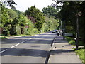
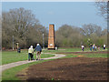
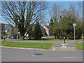
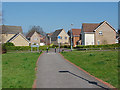
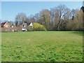
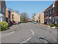
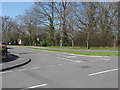
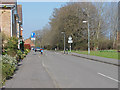
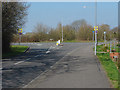
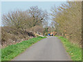
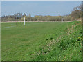
34 photos from this area
Area Information
Key information about the RG42 2JP including its size, population, and administrative classification.
- Area Type
- Postcode
- Area Size
- 9711 m²
- Population
- 2324
- Population Density
- 4647 people/km²
House Prices in RG42 2JP
27
Properties
£383,556
Average Sold Price
£177,602
Lowest Price
£725,000
Highest Price
Showing 27 properties
| Address | Type | Beds | Baths | Last Sale Price | Last Sale Date | |
|---|---|---|---|---|---|---|
| 14 Goddard Way, Warfield, Bracknell, RG42 2JP | Terraced | 3 | 2 | £420,000 | Jan 2025 | |
| 28 Goddard Way, Warfield, Bracknell, RG42 2JP | Semi-detached | 3 | 2 | £435,000 | Oct 2024 | |
| 16 Goddard Way, Warfield, Bracknell, RG42 2JP | Terraced | 3 | 1 | £425,000 | Sep 2023 | |
| 52 Goddard Way, Warfield, Bracknell, RG42 2JP | Terraced | 3 | 1 | £455,000 | Mar 2023 | |
| 18 Goddard Way, Warfield, Bracknell, RG42 2JP | Retail | 3 | 2 | £465,000 | Jun 2022 | |
| 48 Goddard Way, Warfield, Bracknell, RG42 2JP | Terraced | 3 | 3 | £503,000 | Feb 2022 | |
| 50 Goddard Way, Warfield, Bracknell, RG42 2JP | Terraced | 3 | - | £410,000 | Oct 2020 | |
| 26 Goddard Way, Warfield, Bracknell, RG42 2JP | Semi-detached | 3 | 1 | £387,500 | Oct 2020 | |
| 4 Goddard Way, Warfield, Bracknell, RG42 2JP | Terraced | 2 | 1 | £335,000 | Sep 2020 | |
| 30 Goddard Way, Warfield, Bracknell, RG42 2JP | Semi-detached | 3 | 2 | £425,000 | Sep 2018 |
Page 1 of 3
Energy Efficiency in RG42 2JP
Amenities
Schools
| Rank | School | Type | Entry gender | Ages |
|---|
Explore more schools in this area
Go to Schools tabDemographics
Household Size
Family (3-5 people)
most common
Accommodation Type
Houses
most common
Tenure
81
majority
Ethnic Group
White
most common
Religion
N/A
most common
Household Composition
N/A
most common
Age
47
median
Adults (30-64 years)
most common
Household Deprivation
N/A
with no deprivation
NS-SEC
52
in Lower managerial occupations
Explore more demographic insights in this area
Go to Demographics tabPlanning
Planning Constraints
- Flood RiskPremium
- Ramsar Wetland SitesPremium
- Area of Outstanding Natural BeautyPremium
- Protected Nature ReservePremium
- Protected WoodlandPremium