Area Overview for RG40 5SP
Photos of RG40 5SP
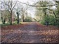
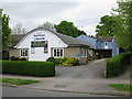
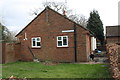
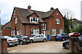
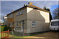
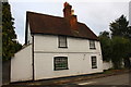
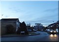
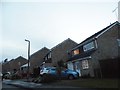
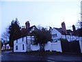
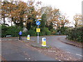
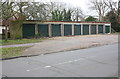
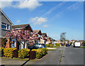
27 photos from this area
Area Information
Key information about the RG40 5SP including its size, population, and administrative classification.
- Area Type
- Postcode
- Area Size
- 2.5 hectares
- Population
- 1853
- Population Density
- 2882 people/km²
House Prices in RG40 5SP
56
Properties
£535,031
Average Sold Price
£369,995
Lowest Price
£716,995
Highest Price
Showing 56 properties
| Address | Type | Beds | Baths | Last Sale Price | Last Sale Date | |
|---|---|---|---|---|---|---|
| 9 Franklin Drive, Wokingham, RG40 5SP | Terraced | 2 | 2 | £445,000 | Jun 2025 | |
| 40 Franklin Drive, Wokingham, RG40 5SP | Maisonette | 2 | 1 | £369,995 | May 2024 | |
| 32 Franklin Drive, Wokingham, RG40 5SP | house | - | - | £549,995 | Apr 2024 | |
| 36 Franklin Drive, Wokingham, RG40 5SP | house | - | - | £439,995 | Jan 2024 | |
| 26 Franklin Drive, Wokingham, RG40 5SP | house | - | - | £444,995 | Nov 2023 | |
| 28 Franklin Drive, Wokingham, RG40 5SP | house | - | - | £574,995 | Nov 2023 | |
| 48 Franklin Drive, Wokingham, RG40 5SP | house | - | - | £572,995 | Nov 2023 | |
| 42 Franklin Drive, Wokingham, RG40 5SP | house | - | - | £569,995 | Oct 2023 | |
| 44 Franklin Drive, Wokingham, RG40 5SP | Semi-detached | 3 | 2 | £521,995 | Oct 2023 | |
| 31 Franklin Drive, Wokingham, RG40 5SP | house | - | - | £711,995 | Sep 2023 |
Page 1 of 6
Energy Efficiency in RG40 5SP
Amenities
Schools
| Rank | School | Type | Entry gender | Ages |
|---|
Explore more schools in this area
Go to Schools tabDemographics
Household Size
Family (3-5 people)
most common
Accommodation Type
Houses
most common
Tenure
69
majority
Ethnic Group
White
most common
Religion
N/A
most common
Household Composition
N/A
most common
Age
47
median
Adults (30-64 years)
most common
Household Deprivation
N/A
with no deprivation
NS-SEC
47
in Lower managerial occupations
Explore more demographic insights in this area
Go to Demographics tabPlanning
Planning Constraints
- Flood RiskPremium
- Ramsar Wetland SitesPremium
- Area of Outstanding Natural BeautyPremium
- Protected Nature ReservePremium
- Protected WoodlandPremium