Area Overview for RG31 4EP
Photos of RG31 4EP
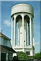
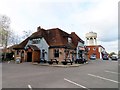
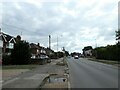
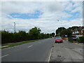
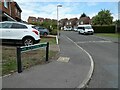
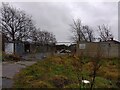
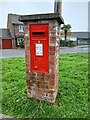
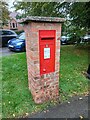
31 photos from this area
Area Information
Key information about the RG31 4EP including its size, population, and administrative classification.
- Area Type
- Postcode
- Area Size
- 5267 m²
- Population
- 1534
- Population Density
- 1609 people/km²
House Prices in RG31 4EP
14
Properties
£162,117
Average Sold Price
£500
Lowest Price
£260,000
Highest Price
Showing 14 properties
| Address | Type | Beds | Baths | Last Sale Price | Last Sale Date | |
|---|---|---|---|---|---|---|
| 3 Alder Drive, Tilehurst, Reading, RG31 4EP | Maisonette | 2 | 1 | £240,000 | Nov 2025 | |
| 11 Alder Drive, Tilehurst, Reading, RG31 4EP | Maisonette | 2 | 1 | £260,000 | Oct 2025 | |
| 9 Alder Drive, Tilehurst, Reading, RG31 4EP | Flat | 2 | 1 | £248,000 | Dec 2022 | |
| 7 Alder Drive, Tilehurst, Reading, RG31 4EP | Flat | 2 | 1 | £235,000 | Feb 2022 | |
| 4 Alder Drive, Tilehurst, Reading, RG31 4EP | Maisonette | - | - | £225,000 | Sep 2021 | |
| 2 Alder Drive, Tilehurst, Reading, RG31 4EP | Maisonette | - | - | £210,000 | Oct 2020 | |
| 5 Alder Drive, Tilehurst, Reading, RG31 4EP | Flat | - | - | £900 | Oct 2016 | |
| 1 Alder Drive, Tilehurst, Reading, RG31 4EP | Maisonette | 2 | - | £500 | Oct 2016 | |
| 6 Alder Drive, Tilehurst, Reading, RG31 4EP | Flat | 2 | 1 | £183,500 | Jul 2015 | |
| 12 Alder Drive, Tilehurst, Reading, RG31 4EP | Maisonette | 2 | 1 | £148,000 | Jul 2012 |
Page 1 of 2
Energy Efficiency in RG31 4EP
Amenities
Schools
| Rank | School | Type | Entry gender | Ages |
|---|
Explore more schools in this area
Go to Schools tabDemographics
Household Size
Family (3-5 people)
most common
Accommodation Type
Houses
most common
Tenure
85
majority
Ethnic Group
White
most common
Religion
N/A
most common
Household Composition
N/A
most common
Age
47
median
Adults (30-64 years)
most common
Household Deprivation
N/A
with no deprivation
NS-SEC
36
in Lower managerial occupations
Explore more demographic insights in this area
Go to Demographics tabPlanning
Planning Constraints
- Flood RiskPremium
- Ramsar Wetland SitesPremium
- Area of Outstanding Natural BeautyPremium
- Protected Nature ReservePremium
- Protected WoodlandPremium