Area Overview for RG27 8BU
Photos of RG27 8BU
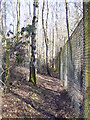
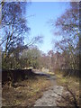

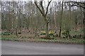
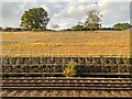
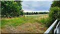
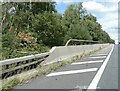
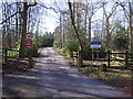
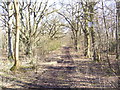
21 photos from this area
Area Information
Key information about the RG27 8BU including its size, population, and administrative classification.
- Area Type
- Postcode
- Area Size
- 76.6 hectares
- Population
- 1536
- Population Density
- 53 people/km²
House Prices in RG27 8BU
23
Properties
£696,375
Average Sold Price
£545,500
Lowest Price
£830,000
Highest Price
Showing 23 properties
| Address | Type | Beds | Baths | Last Sale Price | Last Sale Date | |
|---|---|---|---|---|---|---|
| Bridge Bungalow, Odiham Road, Winchfield, Hook, RG27 8BU | Bungalow | 8 | 8 | £725,000 | Aug 2022 | |
| Fircomb, Odiham Road, Winchfield, Hook, RG27 8BU | Bungalow | - | - | £545,500 | Dec 2019 | |
| Birch House, Odiham Road, Winchfield, Hook, RG27 8BU | Detached | 5 | 3 | £830,000 | May 2019 | |
| Mole End, Odiham Road, Winchfield, Hook, RG27 8BU | Detached | - | - | £685,000 | Jul 2006 | |
| 5, Shapley Hill, Odiham Road, Winchfield, Hook, RG27 8BU | Terraced | 3 | 1 | - | - | |
| Forest Retreat, Odiham Road, Winchfield, Hook, RG27 8BU | Detached | 4 | 3 | - | - | |
| Shapley Heath House, Odiham Road, Winchfield, Hook, RG27 8BU | Semi-detached | 3 | 2 | - | - | |
| April Wood, Odiham Road, Winchfield, Hook, RG27 8BU | Detached | - | - | - | - | |
| 1, Shapley Hill, Odiham Road, Winchfield, Hook, RG27 8BU | house | 2 | 1 | - | - | |
| 4, Shapley Hill, Odiham Road, Winchfield, Hook, RG27 8BU | house | 3 | - | - | - |
Page 1 of 3
Energy Efficiency in RG27 8BU
Amenities
Schools
| Rank | School | Type | Entry gender | Ages |
|---|
Explore more schools in this area
Go to Schools tabDemographics
Household Size
Two person
most common
Accommodation Type
Houses
most common
Tenure
85
majority
Ethnic Group
White
most common
Religion
N/A
most common
Household Composition
N/A
most common
Age
47
median
Adults (30-64 years)
most common
Household Deprivation
N/A
with no deprivation
NS-SEC
49
in Lower managerial occupations
Explore more demographic insights in this area
Go to Demographics tabPlanning
Planning Constraints
- Flood RiskPremium
- Ramsar Wetland SitesPremium
- Area of Outstanding Natural BeautyPremium
- Protected Nature ReservePremium
- Protected WoodlandPremium