Area Overview for RG22 6UB
Photos of RG22 6UB
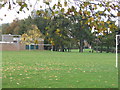
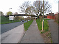
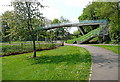
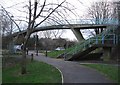
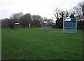
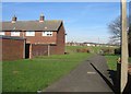
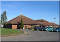
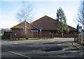
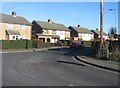
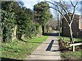
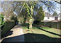
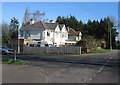
100 photos from this area
Area Information
Key information about the RG22 6UB including its size, population, and administrative classification.
- Area Type
- Postcode
- Area Size
- 8320 m²
- Population
- 1495
- Population Density
- 2673 people/km²
House Prices in RG22 6UB
27
Properties
£212,667
Average Sold Price
£95,000
Lowest Price
£295,000
Highest Price
Showing 27 properties
| Address | Type | Beds | Baths | Last Sale Price | Last Sale Date | |
|---|---|---|---|---|---|---|
| 44 Woburn Gardens, Basingstoke, RG22 6UB | house | 2 | 1 | £295,000 | Mar 2025 | |
| 22 Woburn Gardens, Basingstoke, RG22 6UB | Terraced | 2 | 1 | £275,000 | Feb 2024 | |
| 16 Woburn Gardens, Basingstoke, RG22 6UB | Terraced | 3 | 1 | £275,000 | Sep 2022 | |
| 2 Woburn Gardens, Basingstoke, RG22 6UB | Flat | - | - | £160,000 | Apr 2021 | |
| 20 Woburn Gardens, Basingstoke, RG22 6UB | Terraced | 2 | 1 | £240,000 | Sep 2020 | |
| 24 Woburn Gardens, Basingstoke, RG22 6UB | Terraced | 2 | 1 | £200,000 | Jun 2020 | |
| 18 Woburn Gardens, Basingstoke, RG22 6UB | Terraced | 3 | 1 | £281,000 | Dec 2018 | |
| 52 Woburn Gardens, Basingstoke, RG22 6UB | Terraced | 2 | - | £220,000 | May 2016 | |
| 28 Woburn Gardens, Basingstoke, RG22 6UB | Terraced | 3 | - | £195,000 | Apr 2016 | |
| 46 Woburn Gardens, Basingstoke, RG22 6UB | Terraced | 2 | 1 | £195,000 | Jul 2015 |
Page 1 of 3
Energy Efficiency in RG22 6UB
Amenities
Schools
| Rank | School | Type | Entry gender | Ages |
|---|
Explore more schools in this area
Go to Schools tabDemographics
Household Size
Two person
most common
Accommodation Type
Houses
most common
Tenure
59
majority
Ethnic Group
White
most common
Religion
N/A
most common
Household Composition
N/A
most common
Age
47
median
Adults (30-64 years)
most common
Household Deprivation
N/A
with no deprivation
NS-SEC
29
in Lower managerial occupations
Explore more demographic insights in this area
Go to Demographics tabPlanning
Planning Constraints
- Flood RiskPremium
- Ramsar Wetland SitesPremium
- Area of Outstanding Natural BeautyPremium
- Protected Nature ReservePremium
- Protected WoodlandPremium