Area Overview for RG22 6TS
Photos of RG22 6TS
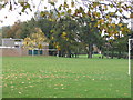
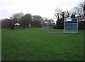
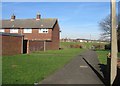
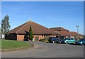
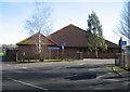
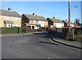
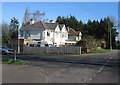
100 photos from this area
Area Information
Key information about the RG22 6TS including its size, population, and administrative classification.
- Area Type
- Postcode
- Area Size
- 6778 m²
- Population
- 1495
- Population Density
- 2673 people/km²
House Prices in RG22 6TS
23
Properties
£190,473
Average Sold Price
£50,000
Lowest Price
£385,000
Highest Price
Showing 23 properties
| Address | Type | Beds | Baths | Last Sale Price | Last Sale Date | |
|---|---|---|---|---|---|---|
| 97 St Peters Road, Basingstoke, RG22 6TS | Semi-detached | 3 | - | £385,000 | Mar 2025 | |
| 117 St Peters Road, Basingstoke, RG22 6TS | Terraced | 3 | 1 | £300,250 | Jan 2025 | |
| 123 St Peters Road, Basingstoke, RG22 6TS | house | 2 | 1 | £225,000 | Dec 2020 | |
| 119 St Peters Road, Basingstoke, RG22 6TS | Terraced | 3 | - | £243,000 | Feb 2019 | |
| 105 St Peters Road, Basingstoke, RG22 6TS | Semi-detached | 3 | - | £275,000 | Jan 2019 | |
| 95 St Peters Road, Basingstoke, RG22 6TS | house | - | - | £189,950 | Dec 2009 | |
| 107 St Peters Road, Basingstoke, RG22 6TS | Semi-detached | - | - | £166,000 | Nov 2005 | |
| 121 St Peters Road, Basingstoke, RG22 6TS | Terraced | - | - | £115,000 | Aug 2002 | |
| 113 St Peters Road, Basingstoke, RG22 6TS | house | - | - | £93,000 | Dec 2000 | |
| 91 St Peters Road, Basingstoke, RG22 6TS | Flat | - | - | £50,000 | Feb 2000 |
Page 1 of 3
Energy Efficiency in RG22 6TS
Amenities
Schools
| Rank | School | Type | Entry gender | Ages |
|---|
Explore more schools in this area
Go to Schools tabDemographics
Household Size
Two person
most common
Accommodation Type
Houses
most common
Tenure
59
majority
Ethnic Group
White
most common
Religion
N/A
most common
Household Composition
N/A
most common
Age
47
median
Adults (30-64 years)
most common
Household Deprivation
N/A
with no deprivation
NS-SEC
29
in Lower managerial occupations
Explore more demographic insights in this area
Go to Demographics tabPlanning
Planning Constraints
- Flood RiskPremium
- Ramsar Wetland SitesPremium
- Area of Outstanding Natural BeautyPremium
- Protected Nature ReservePremium
- Protected WoodlandPremium