Area Overview for RG21 5SG
Photos of RG21 5SG
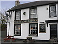
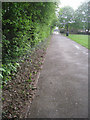
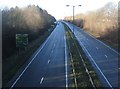
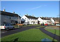
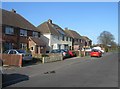
100 photos from this area
Area Information
Key information about the RG21 5SG including its size, population, and administrative classification.
- Area Type
- Postcode
- Area Size
- 6312 m²
- Population
- 1654
- Population Density
- 3208 people/km²
House Prices in RG21 5SG
10
Properties
£211,375
Average Sold Price
£52,999
Lowest Price
£310,000
Highest Price
Showing 10 properties
| Address | Type | Beds | Baths | Last Sale Price | Last Sale Date | |
|---|---|---|---|---|---|---|
| 97 Oakridge Road, Basingstoke, RG21 5SG | Terraced | 3 | 1 | £310,000 | Jan 2025 | |
| 91 Oakridge Road, Basingstoke, RG21 5SG | Semi-detached | 2 | 1 | £247,500 | Oct 2019 | |
| 103 Oakridge Road, Basingstoke, RG21 5SG | Terraced | 3 | 1 | £230,000 | Feb 2019 | |
| 95 Oakridge Road, Basingstoke, RG21 5SG | Terraced | 3 | 1 | £262,500 | Feb 2018 | |
| 99 Oakridge Road, Basingstoke, RG21 5SG | house | - | - | £260,000 | Jan 2017 | |
| 93 Oakridge Road, Basingstoke, RG21 5SG | house | 3 | - | £150,000 | Apr 2011 | |
| 89 Oakridge Road, Basingstoke, RG21 5SG | Semi-detached | - | - | £178,000 | Mar 2008 | |
| 105 Oakridge Road, Basingstoke, RG21 5SG | Terraced | - | - | £52,999 | Nov 1995 | |
| 107 Oakridge Road, Basingstoke, RG21 5SG | house | - | - | - | - | |
| 101 Oakridge Road, Basingstoke, RG21 5SG | house | - | - | - | - |
Energy Efficiency in RG21 5SG
Amenities
Schools
| Rank | School | Type | Entry gender | Ages |
|---|
Explore more schools in this area
Go to Schools tabDemographics
Household Size
Family (3-5 people)
most common
Accommodation Type
Houses
most common
Tenure
76
majority
Ethnic Group
White
most common
Religion
N/A
most common
Household Composition
N/A
most common
Age
47
median
Adults (30-64 years)
most common
Household Deprivation
N/A
with no deprivation
NS-SEC
39
in Lower managerial occupations
Explore more demographic insights in this area
Go to Demographics tabPlanning
Planning Constraints
- Flood RiskPremium
- Ramsar Wetland SitesPremium
- Area of Outstanding Natural BeautyPremium
- Protected Nature ReservePremium
- Protected WoodlandPremium