Area Overview for RG20 8XB
Photos of RG20 8XB
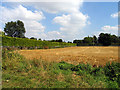
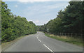
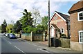
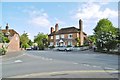
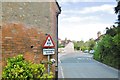
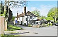

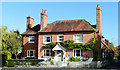
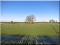
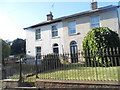
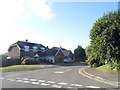
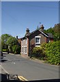
50 photos from this area
Area Information
Key information about the RG20 8XB including its size, population, and administrative classification.
- Area Type
- Postcode
- Area Size
- 47.7 hectares
- Population
- 1590
- Population Density
- 94 people/km²
House Prices in RG20 8XB
23
Properties
£519,250
Average Sold Price
£156,000
Lowest Price
£875,000
Highest Price
Showing 23 properties
| Address | Type | Beds | Baths | Last Sale Price | Last Sale Date | |
|---|---|---|---|---|---|---|
| Fanda Lodge, Green Lane, Chieveley, Newbury, RG20 8XB | Detached | 5 | 2 | £810,000 | Nov 2022 | |
| Poppin Cottage, Green Lane, Chieveley, Newbury, RG20 8XB | Detached | 4 | 2 | £590,000 | Mar 2022 | |
| The Old Stables, Green Lane, Chieveley, Newbury, RG20 8XB | house | - | - | £875,000 | Nov 2014 | |
| Courthill, Green Lane, Chieveley, Newbury, RG20 8XB | Detached | 4 | 3 | £375,000 | Jul 2013 | |
| The Colt House, Green Lane, Chieveley, Newbury, RG20 8XB | Bungalow | 4 | - | £565,000 | May 2013 | |
| Ingle House, Green Lane, Chieveley, Newbury, RG20 8XB | Detached | 3 | 2 | £625,000 | Jun 2008 | |
| Green Lane Cottage, Green Lane, Chieveley, Newbury, RG20 8XB | Semi-detached | - | - | £435,000 | Aug 2006 | |
| Laburnham Cottage, Green Lane, Chieveley, Newbury, RG20 8XB | Semi-detached | - | - | £400,000 | May 2006 | |
| Christmas Cottage, Green Lane, Chieveley, Newbury, RG20 8XB | Detached | 4 | - | £350,000 | May 2006 | |
| Holme Bush Cottage, Green Lane, Chieveley, Newbury, RG20 8XB | Detached | - | - | £540,000 | Sep 2004 |
Page 1 of 3
Energy Efficiency in RG20 8XB
Amenities
Schools
| Rank | School | Type | Entry gender | Ages |
|---|
Explore more schools in this area
Go to Schools tabDemographics
Household Size
Two person
most common
Accommodation Type
Houses
most common
Tenure
80
majority
Ethnic Group
White
most common
Religion
N/A
most common
Household Composition
N/A
most common
Age
47
median
Adults (30-64 years)
most common
Household Deprivation
N/A
with no deprivation
NS-SEC
43
in Lower managerial occupations
Explore more demographic insights in this area
Go to Demographics tabPlanning
Planning Constraints
- Flood RiskPremium
- Ramsar Wetland SitesPremium
- Area of Outstanding Natural BeautyPremium
- Protected Nature ReservePremium
- Protected WoodlandPremium