Area Overview for RG2 9FL
Photos of RG2 9FL
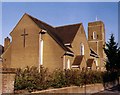
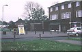
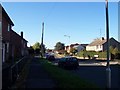
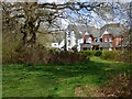
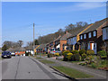
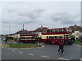
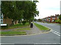
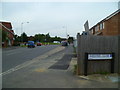
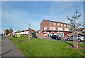
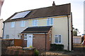
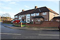
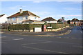
24 photos from this area
Area Information
Key information about the RG2 9FL including its size, population, and administrative classification.
- Area Type
- Postcode
- Area Size
- 4.1 hectares
- Population
- 2270
- Population Density
- 2510 people/km²
House Prices in RG2 9FL
88
Properties
£334,584
Average Sold Price
£68,600
Lowest Price
£610,000
Highest Price
Showing 88 properties
| Address | Type | Beds | Baths | Last Sale Price | Last Sale Date | |
|---|---|---|---|---|---|---|
| 42 Cirrus Drive, Shinfield, RG2 9FL | Flat | - | - | £240,000 | Mar 2025 | |
| 40 Cirrus Drive, Shinfield, RG2 9FL | Flat | 2 | 2 | £240,000 | Sep 2024 | |
| 41 Cirrus Drive, Shinfield, RG2 9FL | Semi-detached | 4 | 2 | £460,000 | Sep 2024 | |
| 46 Cirrus Drive, Shinfield, RG2 9FL | Flat | - | - | £242,000 | Mar 2024 | |
| 110 Cirrus Drive, Shinfield, RG2 9FL | Terraced | 4 | 3 | £465,000 | Dec 2023 | |
| 104 Cirrus Drive, Shinfield, RG2 9FL | Flat | 2 | 2 | £235,000 | Sep 2023 | |
| 23 Cirrus Drive, Shinfield, RG2 9FL | house | - | - | £540,000 | Jul 2023 | |
| 19 Cirrus Drive, Shinfield, RG2 9FL | Detached | 5 | 3 | £575,000 | Apr 2023 | |
| 48 Cirrus Drive, Shinfield, RG2 9FL | Flat | 2 | 2 | £237,000 | Nov 2022 | |
| 100 Cirrus Drive, Shinfield, RG2 9FL | Flat | 2 | 2 | £228,330 | Nov 2022 |
Page 1 of 9
Energy Efficiency in RG2 9FL
Amenities
Schools
| Rank | School | Type | Entry gender | Ages |
|---|
Explore more schools in this area
Go to Schools tabDemographics
Household Size
Family (3-5 people)
most common
Accommodation Type
Houses
most common
Tenure
62
majority
Ethnic Group
White
most common
Religion
N/A
most common
Household Composition
N/A
most common
Age
47
median
Adults (30-64 years)
most common
Household Deprivation
N/A
with no deprivation
NS-SEC
40
in Lower managerial occupations
Explore more demographic insights in this area
Go to Demographics tabPlanning
Planning Constraints
- Flood RiskPremium
- Ramsar Wetland SitesPremium
- Area of Outstanding Natural BeautyPremium
- Protected Nature ReservePremium
- Protected WoodlandPremium