Area Overview for RG12 0GG
Photos of RG12 0GG
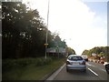
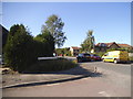
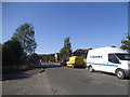
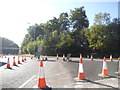
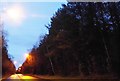
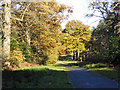
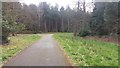
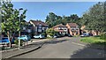
26 photos from this area
Area Information
Key information about the RG12 0GG including its size, population, and administrative classification.
- Area Type
- Postcode
- Area Size
- 1.3 hectares
- Population
- 1338
- Population Density
- 5987 people/km²
House Prices in RG12 0GG
42
Properties
£239,007
Average Sold Price
£60,000
Lowest Price
£465,500
Highest Price
Showing 42 properties
| Address | Type | Beds | Baths | Last Sale Price | Last Sale Date | |
|---|---|---|---|---|---|---|
| 14 Slaidburn Green, Bracknell, RG12 0GG | Terraced | 2 | 1 | £365,000 | Aug 2025 | |
| 33 Slaidburn Green, Bracknell, RG12 0GG | Terraced | 2 | 1 | £367,000 | Aug 2025 | |
| 3 Slaidburn Green, Bracknell, RG12 0GG | Terraced | 3 | 1 | £415,000 | Jul 2025 | |
| 40 Slaidburn Green, Bracknell, RG12 0GG | Terraced | 2 | 1 | £367,000 | Mar 2025 | |
| 42 Slaidburn Green, Bracknell, RG12 0GG | Terraced | 1 | 1 | £243,000 | Mar 2025 | |
| 34 Slaidburn Green, Bracknell, RG12 0GG | Terraced | 1 | 1 | £207,500 | Mar 2024 | |
| 32 Slaidburn Green, Bracknell, RG12 0GG | Semi-detached | 4 | 2 | £465,500 | Sep 2023 | |
| 12 Slaidburn Green, Bracknell, RG12 0GG | Terraced | 3 | 1 | £415,000 | Sep 2023 | |
| 24 Slaidburn Green, Bracknell, RG12 0GG | Terraced | 2 | 1 | £317,500 | Apr 2023 | |
| 8 Slaidburn Green, Bracknell, RG12 0GG | house | - | - | £415,500 | Jan 2023 |
Page 1 of 5
Energy Efficiency in RG12 0GG
Amenities
Schools
| Rank | School | Type | Entry gender | Ages |
|---|
Explore more schools in this area
Go to Schools tabDemographics
Household Size
Family (3-5 people)
most common
Accommodation Type
Houses
most common
Tenure
73
majority
Ethnic Group
White
most common
Religion
N/A
most common
Household Composition
N/A
most common
Age
47
median
Adults (30-64 years)
most common
Household Deprivation
N/A
with no deprivation
NS-SEC
46
in Lower managerial occupations
Explore more demographic insights in this area
Go to Demographics tabPlanning
Planning Constraints
- Flood RiskPremium
- Ramsar Wetland SitesPremium
- Area of Outstanding Natural BeautyPremium
- Protected Nature ReservePremium
- Protected WoodlandPremium