Area Overview for RG10 9DW
Photos of RG10 9DW
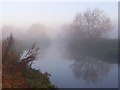
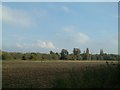
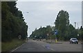
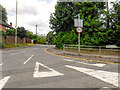
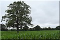
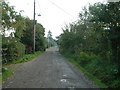

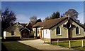
24 photos from this area
Area Information
Key information about the RG10 9DW including its size, population, and administrative classification.
- Area Type
- Postcode
- Area Size
- 6.7 hectares
- Population
- 1526
- Population Density
- 2196 people/km²
House Prices in RG10 9DW
30
Properties
£551,403
Average Sold Price
£268,950
Lowest Price
£780,000
Highest Price
Showing 30 properties
| Address | Type | Beds | Baths | Last Sale Price | Last Sale Date | |
|---|---|---|---|---|---|---|
| 26 Thornbers Way, Charvil, RG10 9DW | Detached | 4 | 2 | £725,000 | Aug 2020 | |
| 29 Thornbers Way, Charvil, RG10 9DW | Detached | 4 | 2 | £745,000 | Oct 2019 | |
| 6 Thornbers Way, Charvil, RG10 9DW | Detached | 4 | 3 | £780,000 | Mar 2019 | |
| 24 Thornbers Way, Charvil, RG10 9DW | Detached | 5 | 3 | £775,000 | Apr 2017 | |
| 3 Thornbers Way, Charvil, RG10 9DW | house | 4 | - | £675,000 | Jan 2017 | |
| 23 Thornbers Way, Charvil, RG10 9DW | Detached | 4 | - | £525,000 | Dec 2015 | |
| 15 Thornbers Way, Charvil, RG10 9DW | Detached | 5 | - | £737,000 | Oct 2015 | |
| 12 Thornbers Way, Charvil, RG10 9DW | house | 4 | - | £435,000 | Sep 2012 | |
| 20 Thornbers Way, Charvil, RG10 9DW | Detached | 4 | - | £500,000 | Jun 2012 | |
| 28 Thornbers Way, Charvil, RG10 9DW | house | 4 | - | £461,500 | Sep 2011 |
Page 1 of 3
Energy Efficiency in RG10 9DW
Amenities
Schools
| Rank | School | Type | Entry gender | Ages |
|---|
Explore more schools in this area
Go to Schools tabDemographics
Household Size
Family (3-5 people)
most common
Accommodation Type
Houses
most common
Tenure
79
majority
Ethnic Group
White
most common
Religion
N/A
most common
Household Composition
N/A
most common
Age
47
median
Adults (30-64 years)
most common
Household Deprivation
N/A
with no deprivation
NS-SEC
50
in Lower managerial occupations
Explore more demographic insights in this area
Go to Demographics tabPlanning
Planning Constraints
- Flood RiskPremium
- Ramsar Wetland SitesPremium
- Area of Outstanding Natural BeautyPremium
- Protected Nature ReservePremium
- Protected WoodlandPremium