Area Overview for RG10 8DX
Photos of RG10 8DX
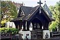
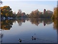
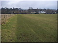
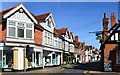
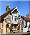
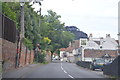
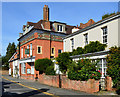
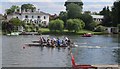
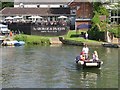
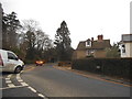
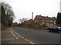
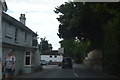
85 photos from this area
Area Information
Key information about the RG10 8DX including its size, population, and administrative classification.
- Area Type
- Postcode
- Area Size
- 8451 m²
- Population
- 1577
- Population Density
- 1133 people/km²
House Prices in RG10 8DX
13
Properties
£368,705
Average Sold Price
£118,550
Lowest Price
£545,000
Highest Price
Showing 13 properties
| Address | Type | Beds | Baths | Last Sale Price | Last Sale Date | |
|---|---|---|---|---|---|---|
| 14 Spring Walk, Wargrave, RG10 8DX | house | - | - | £475,000 | May 2021 | |
| 16 Spring Walk, Wargrave, RG10 8DX | house | - | - | £545,000 | Mar 2021 | |
| 12 Spring Walk, Wargrave, RG10 8DX | Terraced | 3 | 1 | £442,000 | Aug 2018 | |
| 1 Spring Walk, Wargrave, RG10 8DX | house | - | - | £465,000 | Aug 2015 | |
| 10 Spring Walk, Wargrave, RG10 8DX | house | - | - | £445,000 | Jun 2015 | |
| 2 Spring Walk, Wargrave, RG10 8DX | Semi-detached | - | - | £304,500 | Dec 2008 | |
| 9 Spring Walk, Wargrave, RG10 8DX | Detached | - | - | £420,000 | Oct 2004 | |
| 8 Spring Walk, Wargrave, RG10 8DX | Terraced | - | - | £287,000 | Feb 2004 | |
| 5 Spring Walk, Wargrave, RG10 8DX | Terraced | - | - | £185,000 | Apr 1998 | |
| 3 Spring Walk, Wargrave, RG10 8DX | Terraced | - | - | £118,550 | Jul 1995 |
Page 1 of 2
Energy Efficiency in RG10 8DX
Amenities
Schools
| Rank | School | Type | Entry gender | Ages |
|---|
Explore more schools in this area
Go to Schools tabDemographics
Household Size
Two person
most common
Accommodation Type
Houses
most common
Tenure
90
majority
Ethnic Group
White
most common
Religion
N/A
most common
Household Composition
N/A
most common
Age
47
median
Adults (30-64 years)
most common
Household Deprivation
N/A
with no deprivation
NS-SEC
58
in Lower managerial occupations
Explore more demographic insights in this area
Go to Demographics tabPlanning
Planning Constraints
- Flood RiskPremium
- Ramsar Wetland SitesPremium
- Area of Outstanding Natural BeautyPremium
- Protected Nature ReservePremium
- Protected WoodlandPremium