Area Overview for RG10 8DU
Photos of RG10 8DU
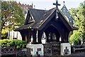
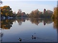
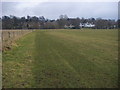
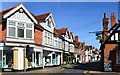
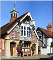
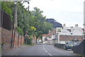
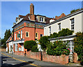
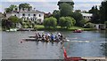
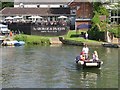
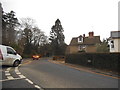
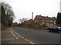
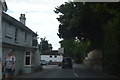
85 photos from this area
Area Information
Key information about the RG10 8DU including its size, population, and administrative classification.
- Area Type
- Postcode
- Area Size
- 7.7 hectares
- Population
- 1577
- Population Density
- 1133 people/km²
House Prices in RG10 8DU
24
Properties
£662,861
Average Sold Price
£148,000
Lowest Price
£1,595,000
Highest Price
Showing 24 properties
| Address | Type | Beds | Baths | Last Sale Price | Last Sale Date | |
|---|---|---|---|---|---|---|
| 33 Braybrooke Road, Wargrave, RG10 8DU | Detached | 5 | 3 | £1,595,000 | Oct 2023 | |
| 37 Braybrooke Road, Wargrave, RG10 8DU | house | - | - | £950,000 | May 2021 | |
| 43A Braybrooke Road, Wargrave, RG10 8DU | Detached | 4 | 3 | £960,000 | Oct 2018 | |
| 15 Braybrooke Road, Wargrave, RG10 8DU | Semi-detached | 4 | 1 | £537,000 | Dec 2017 | |
| 35 Braybrooke Road, Wargrave, RG10 8DU | house | - | - | £1,180,000 | Jul 2015 | |
| 29 Braybrooke Road, Wargrave, RG10 8DU | house | 4 | 2 | £690,000 | Feb 2014 | |
| 11 Braybrooke Road, Wargrave, RG10 8DU | Detached | 4 | - | £675,000 | Apr 2013 | |
| 17 Braybrooke Road, Wargrave, RG10 8DU | house | - | - | £465,000 | Aug 2012 | |
| 41 Braybrooke Road, Wargrave, RG10 8DU | Bungalow | - | - | £660,000 | May 2012 | |
| 19 Braybrooke Road, Wargrave, RG10 8DU | house | 4 | 2 | £465,000 | Aug 2011 |
Page 1 of 3
Energy Efficiency in RG10 8DU
Amenities
Schools
| Rank | School | Type | Entry gender | Ages |
|---|
Explore more schools in this area
Go to Schools tabDemographics
Household Size
Two person
most common
Accommodation Type
Houses
most common
Tenure
90
majority
Ethnic Group
White
most common
Religion
N/A
most common
Household Composition
N/A
most common
Age
47
median
Adults (30-64 years)
most common
Household Deprivation
N/A
with no deprivation
NS-SEC
58
in Lower managerial occupations
Explore more demographic insights in this area
Go to Demographics tabPlanning
Planning Constraints
- Flood RiskPremium
- Ramsar Wetland SitesPremium
- Area of Outstanding Natural BeautyPremium
- Protected Nature ReservePremium
- Protected WoodlandPremium