Area Overview for PO9 5DR
Photos of PO9 5DR
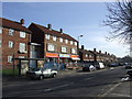

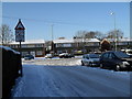
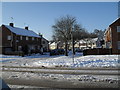
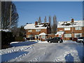
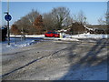
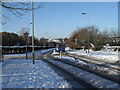
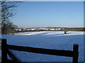
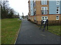
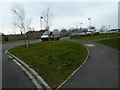
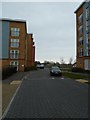
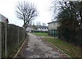
100 photos from this area
Area Information
Key information about the PO9 5DR including its size, population, and administrative classification.
- Area Type
- Postcode
- Area Size
- 3759 m²
- Population
- 1440
- Population Density
- 966 people/km²
House Prices in PO9 5DR
12
Properties
£153,289
Average Sold Price
£64,320
Lowest Price
£210,000
Highest Price
Showing 12 properties
| Address | Type | Beds | Baths | Last Sale Price | Last Sale Date | |
|---|---|---|---|---|---|---|
| 459 Middle Park Way, Havant, PO9 5DR | Terraced | 2 | 1 | £190,000 | Jul 2025 | |
| 463 Middle Park Way, Havant, PO9 5DR | house | - | - | £185,000 | Feb 2019 | |
| 445 Middle Park Way, Havant, PO9 5DR | Semi-detached | 2 | 1 | £210,000 | Jan 2018 | |
| 461 Middle Park Way, Havant, PO9 5DR | house | - | - | £197,000 | Nov 2017 | |
| 451 Middle Park Way, Havant, PO9 5DR | Semi-detached | 2 | 1 | £149,995 | May 2016 | |
| 449 Middle Park Way, Havant, PO9 5DR | house | - | - | £160,000 | Jun 2015 | |
| 457 Middle Park Way, Havant, PO9 5DR | house | - | - | £64,320 | Jul 2004 | |
| 465 Middle Park Way, Havant, PO9 5DR | house | - | - | £69,995 | Nov 2001 | |
| 447 Middle Park Way, Havant, PO9 5DR | Semi-detached | 2 | 1 | - | - | |
| 455 Middle Park Way, Havant, PO9 5DR | house | - | - | - | - |
Page 1 of 2
Energy Efficiency in PO9 5DR
Amenities
Schools
| Rank | School | Type | Entry gender | Ages |
|---|
Explore more schools in this area
Go to Schools tabDemographics
Household Size
Family (3-5 people)
most common
Accommodation Type
Houses
most common
Tenure
50
majority
Ethnic Group
White
most common
Religion
N/A
most common
Household Composition
N/A
most common
Age
47
median
Adults (30-64 years)
most common
Household Deprivation
N/A
with no deprivation
NS-SEC
21
in Lower managerial occupations
Explore more demographic insights in this area
Go to Demographics tabPlanning
Planning Constraints
- Flood RiskPremium
- Ramsar Wetland SitesPremium
- Area of Outstanding Natural BeautyPremium
- Protected Nature ReservePremium
- Protected WoodlandPremium