Area Overview for PO7 7PQ
Photos of PO7 7PQ
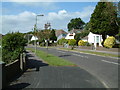
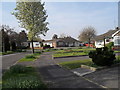
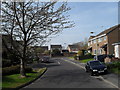
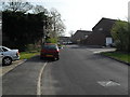
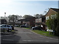
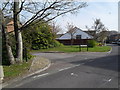
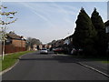
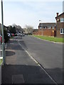
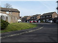
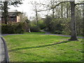
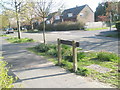
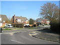
100 photos from this area
Area Information
Key information about the PO7 7PQ including its size, population, and administrative classification.
- Area Type
- Postcode
- Area Size
- 1.0 hectares
- Population
- 1439
- Population Density
- 4137 people/km²
House Prices in PO7 7PQ
15
Properties
£410,438
Average Sold Price
£128,000
Lowest Price
£660,000
Highest Price
Showing 15 properties
| Address | Type | Beds | Baths | Last Sale Price | Last Sale Date | |
|---|---|---|---|---|---|---|
| 94 Ferndale, Waterlooville, PO7 7PQ | Detached | 4 | 2 | £435,000 | May 2024 | |
| 90 Ferndale, Waterlooville, PO7 7PQ | Bungalow | - | - | £485,000 | Mar 2024 | |
| 97 Ferndale, Waterlooville, PO7 7PQ | Detached | 4 | 1 | £660,000 | Sep 2022 | |
| 87 Ferndale, Waterlooville, PO7 7PQ | house | - | - | £473,000 | Jun 2021 | |
| 93 Ferndale, Waterlooville, PO7 7PQ | Detached | 3 | 1 | £412,500 | Feb 2021 | |
| 83 Ferndale, Waterlooville, PO7 7PQ | Bungalow | 3 | - | £390,000 | Feb 2017 | |
| 91 Ferndale, Waterlooville, PO7 7PQ | house | - | - | £300,000 | Dec 2012 | |
| 89 Ferndale, Waterlooville, PO7 7PQ | Detached | - | - | £128,000 | Oct 1997 | |
| 102 Ferndale, Waterlooville, PO7 7PQ | Detached | 4 | 2 | - | - | |
| 98 Ferndale, Waterlooville, PO7 7PQ | Detached | 4 | - | - | - |
Page 1 of 2
Energy Efficiency in PO7 7PQ
Amenities
Schools
| Rank | School | Type | Entry gender | Ages |
|---|
Explore more schools in this area
Go to Schools tabDemographics
Household Size
One person
most common
Accommodation Type
Houses
most common
Tenure
76
majority
Ethnic Group
White
most common
Religion
N/A
most common
Household Composition
N/A
most common
Age
47
median
Adults (30-64 years)
most common
Household Deprivation
N/A
with no deprivation
NS-SEC
39
in Lower managerial occupations
Explore more demographic insights in this area
Go to Demographics tabPlanning
Planning Constraints
- Flood RiskPremium
- Ramsar Wetland SitesPremium
- Area of Outstanding Natural BeautyPremium
- Protected Nature ReservePremium
- Protected WoodlandPremium