Area Overview for PO7 7PE
Photos of PO7 7PE
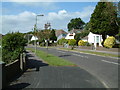
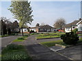
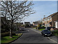
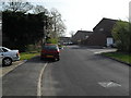
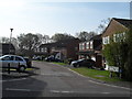
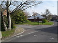
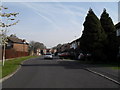
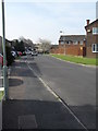
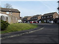
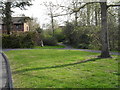
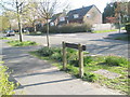
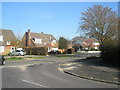
100 photos from this area
Area Information
Key information about the PO7 7PE including its size, population, and administrative classification.
- Area Type
- Postcode
- Area Size
- 1.4 hectares
- Population
- 1439
- Population Density
- 4137 people/km²
House Prices in PO7 7PE
20
Properties
£382,854
Average Sold Price
£90,000
Lowest Price
£590,000
Highest Price
Showing 20 properties
| Address | Type | Beds | Baths | Last Sale Price | Last Sale Date | |
|---|---|---|---|---|---|---|
| 22 The Glade, Waterlooville, PO7 7PE | Detached | 4 | 1 | £590,000 | Apr 2025 | |
| 32 The Glade, Waterlooville, PO7 7PE | Detached | 5 | 2 | £490,000 | Jan 2025 | |
| 15 The Glade, Waterlooville, PO7 7PE | house | - | - | £425,000 | Jul 2022 | |
| 46 The Glade, Waterlooville, PO7 7PE | Retail | 4 | 1 | £590,000 | Mar 2022 | |
| 40 The Glade, Waterlooville, PO7 7PE | Detached | 3 | - | £575,000 | Nov 2021 | |
| 52 The Glade, Waterlooville, PO7 7PE | Detached | 4 | 1 | £550,000 | Mar 2021 | |
| 50 The Glade, Waterlooville, PO7 7PE | Detached | 4 | 1 | £415,000 | Aug 2017 | |
| 13 The Glade, Waterlooville, PO7 7PE | house | 3 | - | £325,000 | Feb 2016 | |
| 28 The Glade, Waterlooville, PO7 7PE | Detached | - | - | £278,000 | Apr 2010 | |
| 11 The Glade, Waterlooville, PO7 7PE | Detached | 3 | 2 | £175,000 | Aug 2001 |
Page 1 of 2
Energy Efficiency in PO7 7PE
Amenities
Schools
| Rank | School | Type | Entry gender | Ages |
|---|
Explore more schools in this area
Go to Schools tabDemographics
Household Size
One person
most common
Accommodation Type
Houses
most common
Tenure
76
majority
Ethnic Group
White
most common
Religion
N/A
most common
Household Composition
N/A
most common
Age
47
median
Adults (30-64 years)
most common
Household Deprivation
N/A
with no deprivation
NS-SEC
39
in Lower managerial occupations
Explore more demographic insights in this area
Go to Demographics tabPlanning
Planning Constraints
- Flood RiskPremium
- Ramsar Wetland SitesPremium
- Area of Outstanding Natural BeautyPremium
- Protected Nature ReservePremium
- Protected WoodlandPremium