Area Overview for PO7 6HG
Photos of PO7 6HG
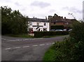
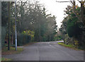
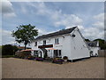
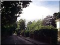
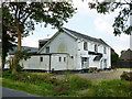
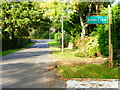
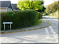
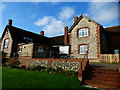
10 photos from this area
Area Information
Key information about the PO7 6HG including its size, population, and administrative classification.
- Area Type
- Postcode
- Area Size
- 16.3 hectares
- Population
- 1850
- Population Density
- 233 people/km²
House Prices in PO7 6HG
12
Properties
£592,571
Average Sold Price
£365,000
Lowest Price
£970,000
Highest Price
Showing 12 properties
| Address | Type | Beds | Baths | Last Sale Price | Last Sale Date | |
|---|---|---|---|---|---|---|
| The Ramblers, Uplands Road, Denmead, PO7 6HG | Retail | 4 | 2 | £845,000 | May 2022 | |
| Kenners Cottage, Uplands Road, Denmead, PO7 6HG | Detached | 5 | 3 | £970,000 | Apr 2018 | |
| Linden Lea, Uplands Road, Denmead, PO7 6HG | Detached | 4 | 1 | £688,000 | Jul 2013 | |
| Highlea, Uplands Road, Denmead, PO7 6HG | house | - | - | £440,000 | Mar 2009 | |
| Selborne, Uplands Road, Denmead, PO7 6HG | Detached | - | - | £475,000 | Jul 2004 | |
| Orchard View, Uplands Road, Denmead, PO7 6HG | Detached | - | - | £365,000 | Nov 2001 | |
| Springfield, Uplands Road, Denmead, PO7 6HG | Detached | - | - | £365,000 | Sep 2001 | |
| Nuts End, Uplands Road, Denmead, PO7 6HG | Detached | - | - | - | - | |
| Beggars Roost, Uplands Road, Denmead, PO7 6HG | Detached | - | - | - | - | |
| Cherryhill Farm, Uplands Road, Denmead, PO7 6HG | Detached | - | - | - | - |
Page 1 of 2
Energy Efficiency in PO7 6HG
Amenities
Schools
| Rank | School | Type | Entry gender | Ages |
|---|
Explore more schools in this area
Go to Schools tabDemographics
Household Size
Two person
most common
Accommodation Type
Houses
most common
Tenure
88
majority
Ethnic Group
White
most common
Religion
N/A
most common
Household Composition
N/A
most common
Age
47
median
Adults (30-64 years)
most common
Household Deprivation
N/A
with no deprivation
NS-SEC
48
in Lower managerial occupations
Explore more demographic insights in this area
Go to Demographics tabPlanning
Planning Constraints
- Flood RiskPremium
- Ramsar Wetland SitesPremium
- Area of Outstanding Natural BeautyPremium
- Protected Nature ReservePremium
- Protected WoodlandPremium