Area Overview for PO4 9HS
Photos of PO4 9HS
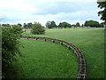
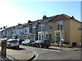
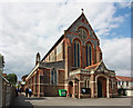
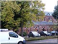
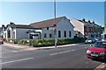
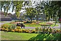

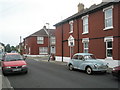
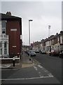
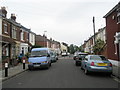
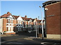
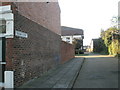
100 photos from this area
Area Information
Key information about the PO4 9HS including its size, population, and administrative classification.
- Area Type
- Postcode
- Area Size
- 4237 m²
- Population
- 1472
- Population Density
- 14319 people/km²
House Prices in PO4 9HS
35
Properties
£159,210
Average Sold Price
£38,750
Lowest Price
£305,000
Highest Price
Showing 35 properties
| Address | Type | Beds | Baths | Last Sale Price | Last Sale Date | |
|---|---|---|---|---|---|---|
| 51 Prince Albert Road, Southsea, PO4 9HS | Terraced | 4 | 3 | £249,999 | Jan 2024 | |
| 70 Prince Albert Road, Southsea, PO4 9HS | Terraced | 2 | 1 | £199,070 | Apr 2023 | |
| 65 Prince Albert Road, Southsea, PO4 9HS | Terraced | 3 | 1 | £215,000 | May 2022 | |
| 72 Prince Albert Road, Southsea, PO4 9HS | house | - | - | £305,000 | Sep 2021 | |
| 43 Prince Albert Road, Southsea, PO4 9HS | Terraced | 18 | 18 | £175,000 | Feb 2021 | |
| 67 Prince Albert Road, Southsea, PO4 9HS | Terraced | 3 | 1 | £231,000 | Jan 2021 | |
| 52 Prince Albert Road, Southsea, PO4 9HS | Terraced | 3 | 1 | £240,000 | May 2020 | |
| 68 Prince Albert Road, Southsea, PO4 9HS | Terraced | 3 | 1 | £210,000 | Feb 2020 | |
| 47 Prince Albert Road, Southsea, PO4 9HS | Terraced | 3 | 1 | £209,940 | Mar 2018 | |
| 69 Prince Albert Road, Southsea, PO4 9HS | Terraced | 3 | 2 | £231,300 | Sep 2016 |
Page 1 of 4
Energy Efficiency in PO4 9HS
Amenities
Schools
| Rank | School | Type | Entry gender | Ages |
|---|
Explore more schools in this area
Go to Schools tabDemographics
Household Size
Two person
most common
Accommodation Type
Houses
most common
Tenure
47
majority
Ethnic Group
White
most common
Religion
N/A
most common
Household Composition
N/A
most common
Age
47
median
Adults (30-64 years)
most common
Household Deprivation
N/A
with no deprivation
NS-SEC
32
in Lower managerial occupations
Explore more demographic insights in this area
Go to Demographics tabPlanning
Planning Constraints
- Flood RiskPremium
- Ramsar Wetland SitesPremium
- Area of Outstanding Natural BeautyPremium
- Protected Nature ReservePremium
- Protected WoodlandPremium