Area Overview for PO4 9DS
Photos of PO4 9DS
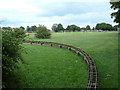
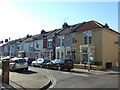
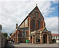
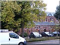
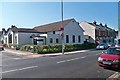
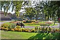

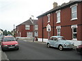
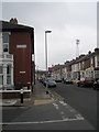
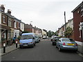
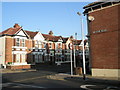
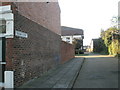
100 photos from this area
Area Information
Key information about the PO4 9DS including its size, population, and administrative classification.
- Area Type
- Postcode
- Area Size
- 5229 m²
- Population
- 1565
- Population Density
- 15048 people/km²
House Prices in PO4 9DS
47
Properties
£169,723
Average Sold Price
£45,500
Lowest Price
£264,000
Highest Price
Showing 47 properties
| Address | Type | Beds | Baths | Last Sale Price | Last Sale Date | |
|---|---|---|---|---|---|---|
| 145 Landguard Road, Southsea, PO4 9DS | Terraced | 2 | 1 | £243,975 | Oct 2024 | |
| 159 Landguard Road, Southsea, PO4 9DS | Terraced | 2 | 1 | £228,000 | Jul 2024 | |
| 111 Landguard Road, Southsea, PO4 9DS | house | 2 | - | £260,000 | Jul 2024 | |
| 181 Landguard Road, Southsea, PO4 9DS | Terraced | 2 | 1 | £264,000 | Nov 2023 | |
| 157 Landguard Road, Southsea, PO4 9DS | house | - | - | £228,000 | May 2023 | |
| 175 Landguard Road, Southsea, PO4 9DS | Terraced | 2 | 1 | £239,000 | Dec 2022 | |
| 153 Landguard Road, Southsea, PO4 9DS | Terraced | 2 | 1 | £220,000 | Mar 2022 | |
| 117 Landguard Road, Southsea, PO4 9DS | Terraced | 2 | 1 | £220,220 | Sep 2020 | |
| 183C Landguard Road, Southsea, PO4 9DS | Detached | 2 | 1 | £157,500 | Mar 2020 | |
| 177 Landguard Road, Southsea, PO4 9DS | Terraced | 2 | 1 | £205,000 | Jan 2020 |
Page 1 of 5
Energy Efficiency in PO4 9DS
Amenities
Schools
| Rank | School | Type | Entry gender | Ages |
|---|
Explore more schools in this area
Go to Schools tabDemographics
Household Size
Two person
most common
Accommodation Type
Houses
most common
Tenure
61
majority
Ethnic Group
White
most common
Religion
N/A
most common
Household Composition
N/A
most common
Age
47
median
Adults (30-64 years)
most common
Household Deprivation
N/A
with no deprivation
NS-SEC
41
in Lower managerial occupations
Explore more demographic insights in this area
Go to Demographics tabPlanning
Planning Constraints
- Flood RiskPremium
- Ramsar Wetland SitesPremium
- Area of Outstanding Natural BeautyPremium
- Protected Nature ReservePremium
- Protected WoodlandPremium