Area Overview for PO4 8SA
Photos of PO4 8SA


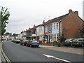
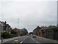
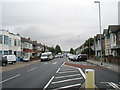
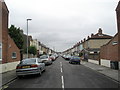
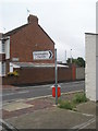
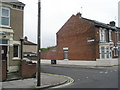
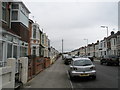
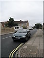
100 photos from this area
Area Information
Key information about the PO4 8SA including its size, population, and administrative classification.
- Area Type
- Postcode
- Area Size
- 1.0 hectares
- Population
- 2637
- Population Density
- 3881 people/km²
House Prices in PO4 8SA
54
Properties
£178,078
Average Sold Price
£49,000
Lowest Price
£325,000
Highest Price
Showing 54 properties
| Address | Type | Beds | Baths | Last Sale Price | Last Sale Date | |
|---|---|---|---|---|---|---|
| 23 Vernon Avenue, Southsea, PO4 8SA | Terraced | 2 | 1 | £247,400 | Jan 2025 | |
| 60 Vernon Avenue, Southsea, PO4 8SA | Terraced | 2 | 1 | £280,000 | Dec 2024 | |
| 5 Vernon Avenue, Southsea, PO4 8SA | house | - | - | £243,000 | Dec 2023 | |
| 7 Vernon Avenue, Southsea, PO4 8SA | Terraced | 2 | 1 | £232,500 | Aug 2023 | |
| 50 Vernon Avenue, Southsea, PO4 8SA | house | - | - | £253,500 | Jan 2022 | |
| 14 Vernon Avenue, Southsea, PO4 8SA | house | - | - | £176,000 | Dec 2021 | |
| 46 Vernon Avenue, Southsea, PO4 8SA | house | 3 | 1 | £270,000 | Nov 2021 | |
| 66 Vernon Avenue, Southsea, PO4 8SA | house | 3 | 1 | £280,000 | Oct 2021 | |
| 32 Vernon Avenue, Southsea, PO4 8SA | house | - | - | £295,000 | Sep 2021 | |
| 36 Vernon Avenue, Southsea, PO4 8SA | Terraced | 3 | 1 | £200,000 | Sep 2021 |
Page 1 of 6
Energy Efficiency in PO4 8SA
Amenities
Schools
| Rank | School | Type | Entry gender | Ages |
|---|
Explore more schools in this area
Go to Schools tabDemographics
Household Size
One person
most common
Accommodation Type
Houses
most common
Tenure
54
majority
Ethnic Group
White
most common
Religion
N/A
most common
Household Composition
N/A
most common
Age
47
median
Adults (30-64 years)
most common
Household Deprivation
N/A
with no deprivation
NS-SEC
30
in Lower managerial occupations
Explore more demographic insights in this area
Go to Demographics tabPlanning
Planning Constraints
- Flood RiskPremium
- Ramsar Wetland SitesPremium
- Area of Outstanding Natural BeautyPremium
- Protected Nature ReservePremium
- Protected WoodlandPremium