Area Overview for PO4 8QH
Photos of PO4 8QH
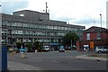

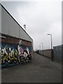
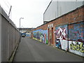
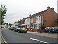
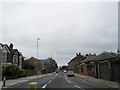
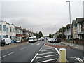
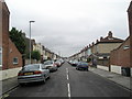
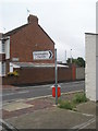
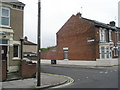
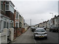
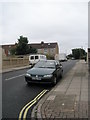
100 photos from this area
Area Information
Key information about the PO4 8QH including its size, population, and administrative classification.
- Area Type
- Postcode
- Area Size
- 9080 m²
- Population
- 2373
- Population Density
- 6819 people/km²
House Prices in PO4 8QH
41
Properties
£176,355
Average Sold Price
£41,000
Lowest Price
£320,000
Highest Price
Showing 41 properties
| Address | Type | Beds | Baths | Last Sale Price | Last Sale Date | |
|---|---|---|---|---|---|---|
| 2 Salterns Avenue, Southsea, PO4 8QH | Terraced | 3 | 1 | £320,000 | Oct 2025 | |
| 19 Salterns Avenue, Southsea, PO4 8QH | Terraced | 2 | 1 | £293,000 | Jun 2024 | |
| 3 Salterns Avenue, Southsea, PO4 8QH | Retail | 3 | 1 | £285,000 | Dec 2022 | |
| 20 Salterns Avenue, Southsea, PO4 8QH | Retail | 3 | 1 | £290,000 | Nov 2022 | |
| 27 Salterns Avenue, Southsea, PO4 8QH | house | - | - | £269,950 | Apr 2021 | |
| 12 Salterns Avenue, Southsea, PO4 8QH | Terraced | 3 | 1 | £225,000 | May 2020 | |
| 10 Salterns Avenue, Southsea, PO4 8QH | Terraced | 3 | 1 | £219,500 | Apr 2020 | |
| 26 Salterns Avenue, Southsea, PO4 8QH | Terraced | 2 | 1 | £215,000 | Mar 2019 | |
| 16 Salterns Avenue, Southsea, PO4 8QH | Terraced | 2 | 2 | £216,000 | May 2017 | |
| 35 Salterns Avenue, Southsea, PO4 8QH | house | - | - | £142,500 | Nov 2007 |
Page 1 of 5
Energy Efficiency in PO4 8QH
Amenities
Schools
| Rank | School | Type | Entry gender | Ages |
|---|
Explore more schools in this area
Go to Schools tabDemographics
Household Size
Family (3-5 people)
most common
Accommodation Type
Houses
most common
Tenure
60
majority
Ethnic Group
White
most common
Religion
N/A
most common
Household Composition
N/A
most common
Age
47
median
Adults (30-64 years)
most common
Household Deprivation
N/A
with no deprivation
NS-SEC
28
in Lower managerial occupations
Explore more demographic insights in this area
Go to Demographics tabPlanning
Planning Constraints
- Flood RiskPremium
- Ramsar Wetland SitesPremium
- Area of Outstanding Natural BeautyPremium
- Protected Nature ReservePremium
- Protected WoodlandPremium