Area Overview for PO4 8JR
Photos of PO4 8JR
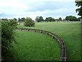
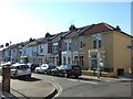
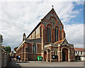
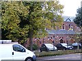
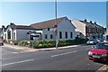
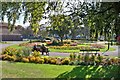

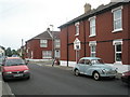
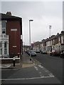
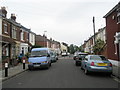
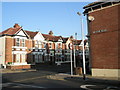
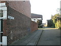
100 photos from this area
Area Information
Key information about the PO4 8JR including its size, population, and administrative classification.
- Area Type
- Postcode
- Area Size
- 4320 m²
- Population
- 1387
- Population Density
- 7723 people/km²
House Prices in PO4 8JR
20
Properties
£189,423
Average Sold Price
£66,000
Lowest Price
£275,000
Highest Price
Showing 20 properties
| Address | Type | Beds | Baths | Last Sale Price | Last Sale Date | |
|---|---|---|---|---|---|---|
| 132 Locksway Road, Southsea, PO4 8JR | Terraced | 3 | 1 | £245,500 | May 2025 | |
| 110 Locksway Road, Southsea, PO4 8JR | Terraced | 3 | 1 | £263,000 | May 2023 | |
| 130 Locksway Road, Southsea, PO4 8JR | Terraced | 3 | 1 | £275,000 | Jul 2022 | |
| 106 Locksway Road, Southsea, PO4 8JR | Terraced | 3 | 1 | £270,000 | May 2022 | |
| 128 Locksway Road, Southsea, PO4 8JR | house | 2 | - | £215,000 | Dec 2021 | |
| 112 Locksway Road, Southsea, PO4 8JR | house | 3 | - | £260,000 | Feb 2019 | |
| 108 Locksway Road, Southsea, PO4 8JR | Terraced | 3 | 2 | £150,000 | Sep 2013 | |
| 124 Locksway Road, Southsea, PO4 8JR | Terraced | - | - | £179,000 | Jun 2008 | |
| 118 Locksway Road, Southsea, PO4 8JR | house | - | - | £150,000 | Mar 2006 | |
| 126 Locksway Road, Southsea, PO4 8JR | house | - | - | £126,000 | Apr 2005 |
Page 1 of 2
Energy Efficiency in PO4 8JR
Amenities
Schools
| Rank | School | Type | Entry gender | Ages |
|---|
Explore more schools in this area
Go to Schools tabDemographics
Household Size
One person
most common
Accommodation Type
Houses
most common
Tenure
72
majority
Ethnic Group
White
most common
Religion
N/A
most common
Household Composition
N/A
most common
Age
47
median
Adults (30-64 years)
most common
Household Deprivation
N/A
with no deprivation
NS-SEC
35
in Lower managerial occupations
Explore more demographic insights in this area
Go to Demographics tabPlanning
Planning Constraints
- Flood RiskPremium
- Ramsar Wetland SitesPremium
- Area of Outstanding Natural BeautyPremium
- Protected Nature ReservePremium
- Protected WoodlandPremium