Area Overview for PO21 4QS
Photos of PO21 4QS
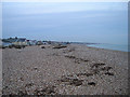
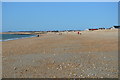
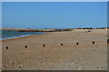
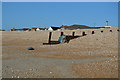
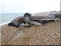
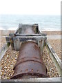
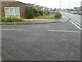
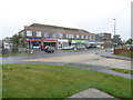
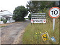

55 photos from this area
Area Information
Key information about the PO21 4QS including its size, population, and administrative classification.
- Area Type
- Postcode
- Area Size
- 1.3 hectares
- Population
- 1647
- Population Density
- 2359 people/km²
House Prices in PO21 4QS
18
Properties
£236,217
Average Sold Price
£60,000
Lowest Price
£400,000
Highest Price
Showing 18 properties
| Address | Type | Beds | Baths | Last Sale Price | Last Sale Date | |
|---|---|---|---|---|---|---|
| 94 Church Way, Pagham, PO21 4QS | Bungalow | 3 | 2 | £400,000 | Sep 2025 | |
| 90 Church Way, Pagham, PO21 4QS | Bungalow | - | - | £347,000 | Sep 2021 | |
| 80 Church Way, Pagham, PO21 4QS | Bungalow | 2 | 1 | £350,000 | Mar 2020 | |
| 71 Church Way, Pagham, PO21 4QS | Bungalow | 2 | 2 | £335,000 | Jan 2019 | |
| 53 Church Way, Pagham, PO21 4QS | Bungalow | 3 | 1 | £385,000 | May 2018 | |
| 55 Church Way, Pagham, PO21 4QS | Bungalow | 3 | 2 | £328,000 | Mar 2017 | |
| 92 Church Way, Pagham, PO21 4QS | Bungalow | - | - | £265,000 | Dec 2015 | |
| 82 Church Way, Pagham, PO21 4QS | Bungalow | 2 | 1 | £252,750 | Nov 2013 | |
| 96 Church Way, Pagham, PO21 4QS | Detached | - | - | £285,000 | May 2007 | |
| 69 Church Way, Pagham, PO21 4QS | Detached | - | - | £152,000 | Feb 2002 |
Page 1 of 2
Energy Efficiency in PO21 4QS
Amenities
Schools
| Rank | School | Type | Entry gender | Ages |
|---|
Explore more schools in this area
Go to Schools tabDemographics
Household Size
Two person
most common
Accommodation Type
Houses
most common
Tenure
92
majority
Ethnic Group
White
most common
Religion
N/A
most common
Household Composition
N/A
most common
Age
47
median
Adults (30-64 years)
most common
Household Deprivation
N/A
with no deprivation
NS-SEC
29
in Lower managerial occupations
Explore more demographic insights in this area
Go to Demographics tabPlanning
Planning Constraints
- Flood RiskPremium
- Ramsar Wetland SitesPremium
- Area of Outstanding Natural BeautyPremium
- Protected Nature ReservePremium
- Protected WoodlandPremium