Area Overview for PO21 4LL
Photos of PO21 4LL
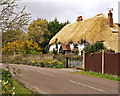
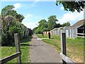
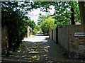
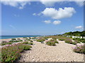
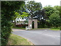
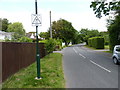
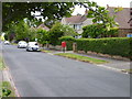
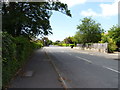
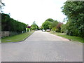
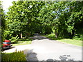
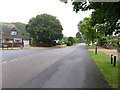
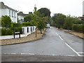
51 photos from this area
Area Information
Key information about the PO21 4LL including its size, population, and administrative classification.
- Area Type
- Postcode
- Area Size
- 4732 m²
- Population
- 1561
- Population Density
- 2081 people/km²
House Prices in PO21 4LL
8
Properties
£224,494
Average Sold Price
£77,950
Lowest Price
£435,000
Highest Price
Showing 8 properties
| Address | Type | Beds | Baths | Last Sale Price | Last Sale Date | |
|---|---|---|---|---|---|---|
| 6 Heston Grove, Aldwick, PO21 4LL | Bungalow | 3 | 1 | £345,000 | May 2025 | |
| 1 Heston Grove, Aldwick, PO21 4LL | Bungalow | - | - | £435,000 | Mar 2022 | |
| 5 Heston Grove, Aldwick, PO21 4LL | Bungalow | 3 | - | £207,000 | Mar 2012 | |
| 2 Heston Grove, Aldwick, PO21 4LL | Detached | - | - | £205,000 | Apr 2009 | |
| 3 Heston Grove, Aldwick, PO21 4LL | Detached | - | - | £202,500 | Apr 2003 | |
| 10 Heston Grove, Aldwick, PO21 4LL | Detached | - | - | £185,000 | Jul 2002 | |
| 8 Heston Grove, Aldwick, PO21 4LL | Detached | - | - | £138,500 | Aug 2001 | |
| 4 Heston Grove, Aldwick, PO21 4LL | Detached | - | - | £77,950 | Oct 1995 |
Energy Efficiency in PO21 4LL
Amenities
Schools
| Rank | School | Type | Entry gender | Ages |
|---|
Explore more schools in this area
Go to Schools tabDemographics
Household Size
Two person
most common
Accommodation Type
Houses
most common
Tenure
91
majority
Ethnic Group
White
most common
Religion
N/A
most common
Household Composition
N/A
most common
Age
47
median
Elderly (65+ years)
most common
Household Deprivation
N/A
with no deprivation
NS-SEC
44
in Lower managerial occupations
Explore more demographic insights in this area
Go to Demographics tabPlanning
Planning Constraints
- Flood RiskPremium
- Ramsar Wetland SitesPremium
- Area of Outstanding Natural BeautyPremium
- Protected Nature ReservePremium
- Protected WoodlandPremium