Area Overview for PO21 4EH
Photos of PO21 4EH
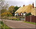
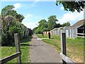
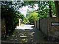
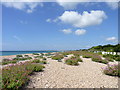
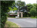
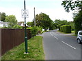
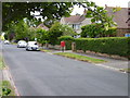
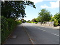
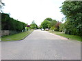
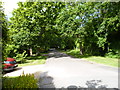
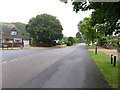
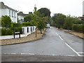
51 photos from this area
Area Information
Key information about the PO21 4EH including its size, population, and administrative classification.
- Area Type
- Postcode
- Area Size
- 3.2 hectares
- Population
- 1561
- Population Density
- 2081 people/km²
House Prices in PO21 4EH
36
Properties
£577,906
Average Sold Price
£185,000
Lowest Price
£950,000
Highest Price
Showing 36 properties
| Address | Type | Beds | Baths | Last Sale Price | Last Sale Date | |
|---|---|---|---|---|---|---|
| 19 Colts Bay, Aldwick, PO21 4EH | Detached | 3 | 2 | £650,000 | Dec 2025 | |
| 14 Colts Bay, Aldwick, PO21 4EH | Bungalow | 3 | 2 | £700,000 | Mar 2025 | |
| 12 Colts Bay, Aldwick, PO21 4EH | house | - | - | £950,000 | Feb 2025 | |
| Casita, 51 Colts Bay, Aldwick, PO21 4EH | Bungalow | 3 | 2 | £725,000 | Oct 2023 | |
| 47 Colts Bay, Aldwick, PO21 4EH | Bungalow | 3 | 2 | £650,000 | Aug 2023 | |
| 55 Colts Bay, Aldwick, PO21 4EH | Bungalow | - | - | £800,000 | Sep 2022 | |
| Saltings, 45 Colts Bay, Aldwick, PO21 4EH | Bungalow | 3 | 2 | £913,000 | Jul 2022 | |
| 31 Colts Bay, Aldwick, PO21 4EH | Detached | 3 | 2 | £675,000 | May 2021 | |
| Tolmers, 37 Colts Bay, Aldwick, PO21 4EH | Bungalow | - | - | £665,000 | Mar 2021 | |
| 11 Colts Bay, Aldwick, PO21 4EH | Bungalow | 3 | 2 | £690,000 | Jan 2021 |
Page 1 of 4
Energy Efficiency in PO21 4EH
Amenities
Schools
| Rank | School | Type | Entry gender | Ages |
|---|
Explore more schools in this area
Go to Schools tabDemographics
Household Size
Two person
most common
Accommodation Type
Houses
most common
Tenure
91
majority
Ethnic Group
White
most common
Religion
N/A
most common
Household Composition
N/A
most common
Age
47
median
Elderly (65+ years)
most common
Household Deprivation
N/A
with no deprivation
NS-SEC
44
in Lower managerial occupations
Explore more demographic insights in this area
Go to Demographics tabPlanning
Planning Constraints
- Flood RiskPremium
- Ramsar Wetland SitesPremium
- Area of Outstanding Natural BeautyPremium
- Protected Nature ReservePremium
- Protected WoodlandPremium