Area Overview for PO21 2UP
Photos of PO21 2UP

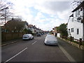
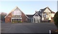
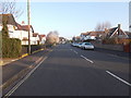
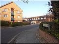
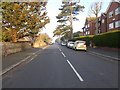
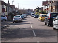
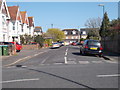
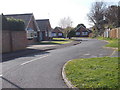

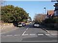
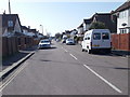
55 photos from this area
Area Information
Key information about the PO21 2UP including its size, population, and administrative classification.
- Area Type
- Postcode
- Area Size
- 2.3 hectares
- Population
- 1756
- Population Density
- 4042 people/km²
House Prices in PO21 2UP
52
Properties
£311,800
Average Sold Price
£170,000
Lowest Price
£510,000
Highest Price
Showing 52 properties
| Address | Type | Beds | Baths | Last Sale Price | Last Sale Date | |
|---|---|---|---|---|---|---|
| 238 Hawthorn Road, Bognor Regis, PO21 2UP | Bungalow | - | - | £170,000 | Dec 2023 | |
| 246 Hawthorn Road, Bognor Regis, PO21 2UP | Detached | 4 | 1 | £510,000 | Feb 2019 | |
| 234 Hawthorn Road, Bognor Regis, PO21 2UP | Semi-detached | 4 | 2 | £374,000 | Feb 2019 | |
| 252 Hawthorn Road, Bognor Regis, PO21 2UP | Bungalow | - | - | £295,000 | Oct 2014 | |
| 236 Hawthorn Road, Bognor Regis, PO21 2UP | Semi-detached | 4 | 2 | £210,000 | Mar 2003 | |
| Apartment 28, Pagham Court, 262 Hawthorn Road, Bognor Regis, PO21 2UP | Flat | 1 | 1 | - | - | |
| Apartment 9, Pagham Court, 262 Hawthorn Road, Bognor Regis, PO21 2UP | Flat | 2 | 1 | - | - | |
| Apartment 4, Pagham Court, 262 Hawthorn Road, Bognor Regis, PO21 2UP | Flat | 1 | 1 | - | - | |
| Apartment 33, Pagham Court, 262 Hawthorn Road, Bognor Regis, PO21 2UP | Flat | 1 | 1 | - | - | |
| Apartment 22, Pagham Court, 262 Hawthorn Road, Bognor Regis, PO21 2UP | Flat | 2 | 1 | - | - |
Page 1 of 6
Energy Efficiency in PO21 2UP
Amenities
Schools
| Rank | School | Type | Entry gender | Ages |
|---|
Explore more schools in this area
Go to Schools tabDemographics
Household Size
Family (3-5 people)
most common
Accommodation Type
Houses
most common
Tenure
54
majority
Ethnic Group
White
most common
Religion
N/A
most common
Household Composition
N/A
most common
Age
47
median
Adults (30-64 years)
most common
Household Deprivation
N/A
with no deprivation
NS-SEC
22
in Lower managerial occupations
Explore more demographic insights in this area
Go to Demographics tabPlanning
Planning Constraints
- Flood RiskPremium
- Ramsar Wetland SitesPremium
- Area of Outstanding Natural BeautyPremium
- Protected Nature ReservePremium
- Protected WoodlandPremium