Area Overview for PO21 2AA
Photos of PO21 2AA
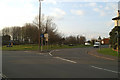
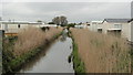
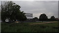
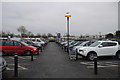
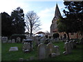
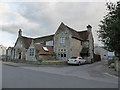
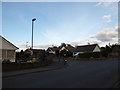
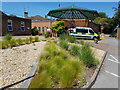
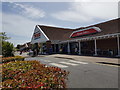
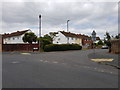

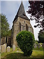
67 photos from this area
Area Information
Key information about the PO21 2AA including its size, population, and administrative classification.
- Area Type
- Postcode
- Area Size
- 8865 m²
- Population
- 1710
- Population Density
- 3726 people/km²
House Prices in PO21 2AA
22
Properties
£237,794
Average Sold Price
£165,000
Lowest Price
£310,000
Highest Price
Showing 22 properties
| Address | Type | Beds | Baths | Last Sale Price | Last Sale Date | |
|---|---|---|---|---|---|---|
| 5 Somerset Gardens, Bognor Regis, PO21 2AA | Terraced | 3 | 1 | £252,000 | Oct 2024 | |
| 14 Somerset Gardens, Bognor Regis, PO21 2AA | Terraced | 3 | 1 | £285,000 | Jan 2024 | |
| 2 Somerset Gardens, Bognor Regis, PO21 2AA | Terraced | 3 | 1 | £290,000 | Apr 2023 | |
| 1 Somerset Gardens, Bognor Regis, PO21 2AA | Detached | 7 | 2 | £300,000 | Oct 2022 | |
| 15 Somerset Gardens, Bognor Regis, PO21 2AA | Terraced | 3 | 1 | £240,000 | Jul 2020 | |
| 18 Somerset Gardens, Bognor Regis, PO21 2AA | Terraced | - | - | £190,000 | Aug 2017 | |
| 3 Somerset Gardens, Bognor Regis, PO21 2AA | Terraced | 4 | 1 | £265,000 | Dec 2016 | |
| 17 Somerset Gardens, Bognor Regis, PO21 2AA | Terraced | 3 | 2 | £310,000 | Sep 2016 | |
| 13 Somerset Gardens, Bognor Regis, PO21 2AA | Semi-detached | 4 | - | £232,000 | Nov 2014 | |
| 7 Somerset Gardens, Bognor Regis, PO21 2AA | house | 4 | - | £210,000 | Oct 2013 |
Page 1 of 3
Energy Efficiency in PO21 2AA
Amenities
Schools
| Rank | School | Type | Entry gender | Ages |
|---|
Explore more schools in this area
Go to Schools tabDemographics
Household Size
Family (3-5 people)
most common
Accommodation Type
Houses
most common
Tenure
57
majority
Ethnic Group
White
most common
Religion
N/A
most common
Household Composition
N/A
most common
Age
47
median
Adults (30-64 years)
most common
Household Deprivation
N/A
with no deprivation
NS-SEC
21
in Lower managerial occupations
Explore more demographic insights in this area
Go to Demographics tabPlanning
Planning Constraints
- Flood RiskPremium
- Ramsar Wetland SitesPremium
- Area of Outstanding Natural BeautyPremium
- Protected Nature ReservePremium
- Protected WoodlandPremium