Area Overview for PO20 8DH
Photos of PO20 8DH
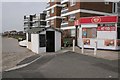
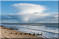
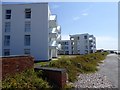
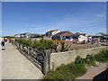
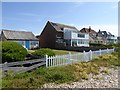
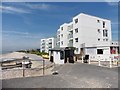
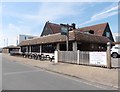
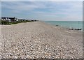
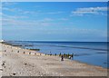
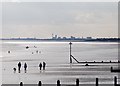
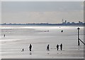
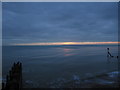
40 photos from this area
Area Information
Key information about the PO20 8DH including its size, population, and administrative classification.
- Area Type
- Postcode
- Area Size
- 8711 m²
- Population
- 1436
- Population Density
- 3045 people/km²
House Prices in PO20 8DH
13
Properties
£338,056
Average Sold Price
£59,000
Lowest Price
£500,000
Highest Price
Showing 13 properties
| Address | Type | Beds | Baths | Last Sale Price | Last Sale Date | |
|---|---|---|---|---|---|---|
| Downsea, Nab Walk, East Wittering, PO20 8DH | house | 3 | 2 | £500,000 | Oct 2019 | |
| Ankor, Nab Walk, East Wittering, PO20 8DH | Bungalow | 3 | 1 | £475,000 | Jan 2017 | |
| The Bosuns Locker, Nab Walk, East Wittering, PO20 8DH | Detached | 3 | 1 | £410,000 | Jul 2014 | |
| Dakar, Nab Walk, East Wittering, PO20 8DH | Detached | 3 | 4 | £415,000 | Jul 2013 | |
| Tofts, Nab Walk, East Wittering, PO20 8DH | Detached | 3 | 1 | £310,000 | Jan 2013 | |
| St Kathyrns, Nab Walk, East Wittering, PO20 8DH | Detached | - | - | £285,500 | Feb 2009 | |
| Miggles, Nab Walk, East Wittering, PO20 8DH | Bungalow | - | - | £249,950 | Feb 2005 | |
| Stonesthrow, Nab Walk, East Wittering, PO20 8DH | Detached | - | - | £59,000 | Nov 1997 | |
| Downsea Chalet, Nab Walk, East Wittering, PO20 8DH | Detached | 2 | 1 | - | - | |
| Upper Deck, Nab Walk, East Wittering, PO20 8DH | Bungalow | - | - | - | - |
Page 1 of 2
Energy Efficiency in PO20 8DH
Amenities
Schools
| Rank | School | Type | Entry gender | Ages |
|---|
Explore more schools in this area
Go to Schools tabDemographics
Household Size
Two person
most common
Accommodation Type
Houses
most common
Tenure
67
majority
Ethnic Group
White
most common
Religion
N/A
most common
Household Composition
N/A
most common
Age
47
median
Adults (30-64 years)
most common
Household Deprivation
N/A
with no deprivation
NS-SEC
33
in Lower managerial occupations
Explore more demographic insights in this area
Go to Demographics tabPlanning
Planning Constraints
- Flood RiskPremium
- Ramsar Wetland SitesPremium
- Area of Outstanding Natural BeautyPremium
- Protected Nature ReservePremium
- Protected WoodlandPremium