Area Overview for PO20 8DG
Photos of PO20 8DG
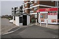

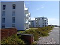
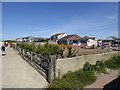
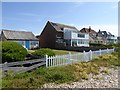
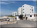
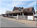
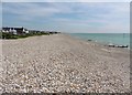
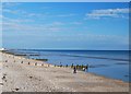


40 photos from this area
Area Information
Key information about the PO20 8DG including its size, population, and administrative classification.
- Area Type
- Postcode
- Area Size
- 2.4 hectares
- Population
- 1436
- Population Density
- 3045 people/km²
House Prices in PO20 8DG
20
Properties
£489,533
Average Sold Price
£200,000
Lowest Price
£935,000
Highest Price
Showing 20 properties
| Address | Type | Beds | Baths | Last Sale Price | Last Sale Date | |
|---|---|---|---|---|---|---|
| 2, Old Barn Court, Barn Walk, East Wittering, PO20 8DG | Detached | 1 | 2 | £740,000 | Sep 2024 | |
| Beach Retreat, Barn Walk, East Wittering, PO20 8DG | Bungalow | - | - | £470,000 | Dec 2020 | |
| 3, Old Barn Court, Barn Walk, East Wittering, PO20 8DG | house | - | - | £935,000 | Sep 2016 | |
| Knot Shore, Barn Walk, East Wittering, PO20 8DG | Bungalow | 4 | 1 | £430,000 | Dec 2014 | |
| Seasalter, Barn Walk, East Wittering, PO20 8DG | Bungalow | 3 | 1 | £375,000 | Aug 2013 | |
| 6, Old Barn Court, Barn Walk, East Wittering, PO20 8DG | Terraced | 4 | 3 | £770,000 | May 2013 | |
| Samphire, Barn Walk, East Wittering, PO20 8DG | Semi-detached | 3 | 2 | £317,000 | Aug 2011 | |
| Barn Cottage, Barn Walk, East Wittering, PO20 8DG | Detached | 4 | 3 | £412,500 | Jan 2009 | |
| The Linnets, Barn Walk, East Wittering, PO20 8DG | Semi-detached | - | - | £200,000 | Jul 2004 | |
| 4, Old Barn Court, Barn Walk, East Wittering, PO20 8DG | Terraced | - | - | £405,000 | May 2004 |
Page 1 of 2
Energy Efficiency in PO20 8DG
Amenities
Schools
| Rank | School | Type | Entry gender | Ages |
|---|
Explore more schools in this area
Go to Schools tabDemographics
Household Size
Two person
most common
Accommodation Type
Houses
most common
Tenure
67
majority
Ethnic Group
White
most common
Religion
N/A
most common
Household Composition
N/A
most common
Age
47
median
Adults (30-64 years)
most common
Household Deprivation
N/A
with no deprivation
NS-SEC
33
in Lower managerial occupations
Explore more demographic insights in this area
Go to Demographics tabPlanning
Planning Constraints
- Flood RiskPremium
- Ramsar Wetland SitesPremium
- Area of Outstanding Natural BeautyPremium
- Protected Nature ReservePremium
- Protected WoodlandPremium