Area Overview for PO20 3RS
Photos of PO20 3RS
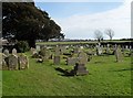
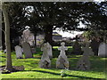
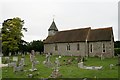
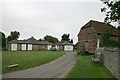

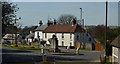
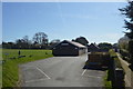
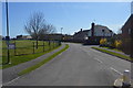
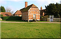
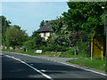
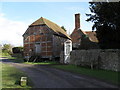
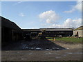
69 photos from this area
Area Information
Key information about the PO20 3RS including its size, population, and administrative classification.
- Area Type
- Postcode
- Area Size
- 10.4 hectares
- Population
- 1841
- Population Density
- 344 people/km²
House Prices in PO20 3RS
29
Properties
£308,867
Average Sold Price
£53,000
Lowest Price
£583,000
Highest Price
Showing 29 properties
| Address | Type | Beds | Baths | Last Sale Price | Last Sale Date | |
|---|---|---|---|---|---|---|
| 7, Hall Cottages, Barnham Road, Eastergate, PO20 3RS | Semi-detached | 3 | 1 | £255,000 | Nov 2025 | |
| 12, Hall Cottages, Barnham Road, Eastergate, PO20 3RS | house | - | - | £395,000 | Jul 2023 | |
| Kenwood, Barnham Road, Eastergate, PO20 3RS | Detached | 3 | 2 | £583,000 | Nov 2019 | |
| Trebarwith Cottage, Barnham Road, Eastergate, PO20 3RS | house | - | - | £350,000 | Aug 2018 | |
| 14, Hall Cottages, Barnham Road, Eastergate, PO20 3RS | house | - | - | £480,000 | Sep 2017 | |
| Meadowside, Barnham Road, Eastergate, PO20 3RS | Bungalow | 1 | 1 | £237,000 | Jul 2016 | |
| 1, Hall Cottages, Barnham Road, Eastergate, PO20 3RS | Bungalow | 4 | - | £275,000 | Feb 2013 | |
| 3, Hall Cottages, Barnham Road, Eastergate, PO20 3RS | house | 4 | - | £273,000 | Jan 2012 | |
| Heathfield, Barnham Road, Eastergate, PO20 3RS | house | - | - | £310,000 | Jan 2010 | |
| 4, Hall Cottages, Barnham Road, Eastergate, PO20 3RS | Detached | - | - | £335,000 | Jun 2008 |
Page 1 of 3
Energy Efficiency in PO20 3RS
Amenities
Schools
| Rank | School | Type | Entry gender | Ages |
|---|
Explore more schools in this area
Go to Schools tabDemographics
Household Size
Two person
most common
Accommodation Type
Houses
most common
Tenure
83
majority
Ethnic Group
White
most common
Religion
N/A
most common
Household Composition
N/A
most common
Age
47
median
Adults (30-64 years)
most common
Household Deprivation
N/A
with no deprivation
NS-SEC
37
in Lower managerial occupations
Explore more demographic insights in this area
Go to Demographics tabPlanning
Planning Constraints
- Flood RiskPremium
- Ramsar Wetland SitesPremium
- Area of Outstanding Natural BeautyPremium
- Protected Nature ReservePremium
- Protected WoodlandPremium