Area Overview for PO18 8UQ
Photos of PO18 8UQ
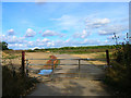

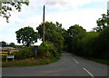
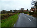
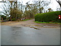


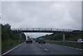
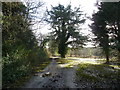
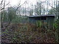
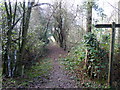
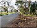
15 photos from this area
Area Information
Key information about the PO18 8UQ including its size, population, and administrative classification.
- Area Type
- Postcode
- Area Size
- 7.9 hectares
- Population
- 2395
- Population Density
- 321 people/km²
House Prices in PO18 8UQ
7
Properties
£692,158
Average Sold Price
£207,000
Lowest Price
£1,175,000
Highest Price
Showing 7 properties
| Address | Type | Beds | Baths | Last Sale Price | Last Sale Date | |
|---|---|---|---|---|---|---|
| Stable Cottage, Hambrook Hill North, Hambrook, Westbourne, PO18 8UQ | Detached | 4 | 3 | £790,000 | Jan 2022 | |
| Hill House, Hambrook Hill North, Hambrook, Westbourne, PO18 8UQ | Detached | 4 | 2 | £729,950 | Jun 2021 | |
| Cedar Way, Hambrook Hill North, Hambrook, Westbourne, PO18 8UQ | Bungalow | 3 | - | £1,175,000 | Sep 2019 | |
| Mount Pleasant Cottage, Hambrook Hill North, Hambrook, Westbourne, PO18 8UQ | house | - | - | £525,000 | Nov 2012 | |
| The Garden House, Hambrook Hill North, Hambrook, Westbourne, PO18 8UQ | house | 4 | - | £726,000 | Jul 2012 | |
| Mathetes, Hambrook Hill North, Hambrook, Westbourne, PO18 8UQ | Detached | 4 | 2 | £207,000 | May 1997 | |
| Amberhurst, Hambrook Hill North, Hambrook, Westbourne, PO18 8UQ | Equestrian | 4 | 2 | - | - |
Energy Efficiency in PO18 8UQ
Amenities
Schools
| Rank | School | Type | Entry gender | Ages |
|---|
Explore more schools in this area
Go to Schools tabDemographics
Household Size
Two person
most common
Accommodation Type
Houses
most common
Tenure
69
majority
Ethnic Group
White
most common
Religion
N/A
most common
Household Composition
N/A
most common
Age
47
median
Adults (30-64 years)
most common
Household Deprivation
N/A
with no deprivation
NS-SEC
40
in Lower managerial occupations
Explore more demographic insights in this area
Go to Demographics tabPlanning
Planning Constraints
- Flood RiskPremium
- Ramsar Wetland SitesPremium
- Area of Outstanding Natural BeautyPremium
- Protected Nature ReservePremium
- Protected WoodlandPremium