Area Overview for PO12 3NW
Photos of PO12 3NW
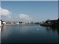
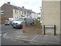
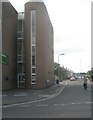
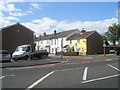
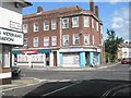
103 photos from this area
Area Information
Key information about the PO12 3NW including its size, population, and administrative classification.
- Area Type
- Postcode
- Area Size
- 5833 m²
- Population
- 1621
- Population Density
- 7214 people/km²
House Prices in PO12 3NW
32
Properties
£117,310
Average Sold Price
£42,500
Lowest Price
£195,716
Highest Price
Showing 32 properties
| Address | Type | Beds | Baths | Last Sale Price | Last Sale Date | |
|---|---|---|---|---|---|---|
| 140 Whitworth Road, Gosport, PO12 3NW | Terraced | 2 | 1 | £180,000 | Jul 2024 | |
| 126 Whitworth Road, Gosport, PO12 3NW | Terraced | 3 | 1 | £195,716 | Dec 2023 | |
| 128 Whitworth Road, Gosport, PO12 3NW | Terraced | 2 | 1 | £165,000 | Apr 2021 | |
| 120 Whitworth Road, Gosport, PO12 3NW | house | - | - | £170,000 | Jan 2021 | |
| 142 Whitworth Road, Gosport, PO12 3NW | Terraced | 3 | 1 | £183,000 | Jun 2020 | |
| 148 Whitworth Road, Gosport, PO12 3NW | Terraced | 2 | 1 | £180,000 | Dec 2019 | |
| 106 Whitworth Road, Gosport, PO12 3NW | Terraced | 2 | 1 | £155,000 | Jun 2019 | |
| 138 Whitworth Road, Gosport, PO12 3NW | Terraced | 3 | 1 | £175,000 | Nov 2018 | |
| 154 Whitworth Road, Gosport, PO12 3NW | Terraced | 2 | 1 | £155,000 | Jun 2018 | |
| 112 Whitworth Road, Gosport, PO12 3NW | Terraced | 2 | - | £132,000 | Mar 2016 |
Page 1 of 4
Energy Efficiency in PO12 3NW
Amenities
Schools
| Rank | School | Type | Entry gender | Ages |
|---|
Explore more schools in this area
Go to Schools tabDemographics
Household Size
Two person
most common
Accommodation Type
Houses
most common
Tenure
69
majority
Ethnic Group
White
most common
Religion
N/A
most common
Household Composition
N/A
most common
Age
47
median
Adults (30-64 years)
most common
Household Deprivation
N/A
with no deprivation
NS-SEC
25
in Lower managerial occupations
Explore more demographic insights in this area
Go to Demographics tabPlanning
Planning Constraints
- Flood RiskPremium
- Ramsar Wetland SitesPremium
- Area of Outstanding Natural BeautyPremium
- Protected Nature ReservePremium
- Protected WoodlandPremium