Area Overview for PO12 3NL
Photos of PO12 3NL
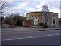
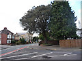
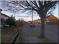
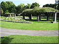
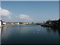
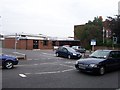
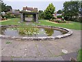
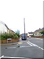
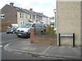
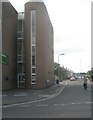
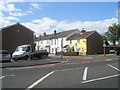
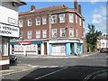
100 photos from this area
Area Information
Key information about the PO12 3NL including its size, population, and administrative classification.
- Area Type
- Postcode
- Area Size
- 6797 m²
- Population
- 1621
- Population Density
- 7214 people/km²
House Prices in PO12 3NL
16
Properties
£134,955
Average Sold Price
£38,000
Lowest Price
£250,000
Highest Price
Showing 16 properties
| Address | Type | Beds | Baths | Last Sale Price | Last Sale Date | |
|---|---|---|---|---|---|---|
| 117 Whitworth Road, Gosport, PO12 3NL | Semi-detached | 3 | 1 | £195,000 | Dec 2020 | |
| 97 Whitworth Road, Gosport, PO12 3NL | Terraced | 3 | 1 | £155,000 | Feb 2019 | |
| 115 Whitworth Road, Gosport, PO12 3NL | Detached | - | - | £250,000 | Dec 2018 | |
| 101 Whitworth Road, Gosport, PO12 3NL | Terraced | 3 | 1 | £155,000 | Aug 2018 | |
| 119 Whitworth Road, Gosport, PO12 3NL | Semi-detached | 3 | - | £147,000 | Jun 2014 | |
| 107 Whitworth Road, Gosport, PO12 3NL | Terraced | 3 | 1 | £106,500 | Aug 2013 | |
| 105 Whitworth Road, Gosport, PO12 3NL | Terraced | 2 | 1 | £124,000 | Jun 2013 | |
| 103 Whitworth Road, Gosport, PO12 3NL | house | - | - | £122,000 | May 2007 | |
| 99 Whitworth Road, Gosport, PO12 3NL | Terraced | - | - | £80,000 | Jul 2003 | |
| 121 Whitworth Road, Gosport, PO12 3NL | Terraced | 2 | 1 | £112,000 | Oct 2002 |
Page 1 of 2
Energy Efficiency in PO12 3NL
Amenities
Schools
| Rank | School | Type | Entry gender | Ages |
|---|
Explore more schools in this area
Go to Schools tabDemographics
Household Size
Two person
most common
Accommodation Type
Houses
most common
Tenure
69
majority
Ethnic Group
White
most common
Religion
N/A
most common
Household Composition
N/A
most common
Age
47
median
Adults (30-64 years)
most common
Household Deprivation
N/A
with no deprivation
NS-SEC
25
in Lower managerial occupations
Explore more demographic insights in this area
Go to Demographics tabPlanning
Planning Constraints
- Flood RiskPremium
- Ramsar Wetland SitesPremium
- Area of Outstanding Natural BeautyPremium
- Protected Nature ReservePremium
- Protected WoodlandPremium