Area Overview for PO10 8RD
Photos of PO10 8RD
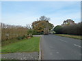
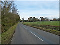
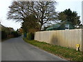
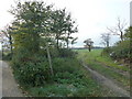
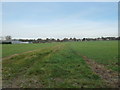
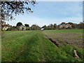
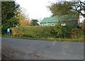
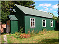
48 photos from this area
Area Information
Key information about the PO10 8RD including its size, population, and administrative classification.
- Area Type
- Postcode
- Area Size
- 54.8 hectares
- Population
- 2395
- Population Density
- 321 people/km²
House Prices in PO10 8RD
31
Properties
£534,111
Average Sold Price
£210,000
Lowest Price
£1,425,000
Highest Price
Showing 31 properties
| Address | Type | Beds | Baths | Last Sale Price | Last Sale Date | |
|---|---|---|---|---|---|---|
| The Haven, Woodmancote Lane, Woodmancote, Westbourne, PO10 8RD | Bungalow | 3 | 1 | £625,000 | Feb 2023 | |
| Highmount, Woodmancote Lane, Woodmancote, Westbourne, PO10 8RD | Bungalow | 2 | 1 | £545,000 | Jul 2022 | |
| Manor House, Woodmancote Lane, Woodmancote, Westbourne, PO10 8RD | Retail | 5 | 2 | £1,425,000 | Jul 2022 | |
| Rosemary, Woodmancote Lane, Woodmancote, Westbourne, PO10 8RD | house | - | - | £515,000 | Sep 2016 | |
| Greenways, Woodmancote Lane, Woodmancote, Westbourne, PO10 8RD | Bungalow | - | - | £470,000 | Jun 2014 | |
| Rose Cottage, Woodmancote Lane, Woodmancote, Westbourne, PO10 8RD | Detached | - | - | £210,000 | Mar 2007 | |
| Barley End House, Woodmancote Lane, Woodmancote, Westbourne, PO10 8RD | house | 6 | - | £497,000 | Feb 2006 | |
| Ashwood, Woodmancote Lane, Woodmancote, Westbourne, PO10 8RD | Bungalow | 3 | 1 | £290,000 | Jan 2006 | |
| 1, Woodside Cottages, Woodmancote Lane, Woodmancote, Westbourne, PO10 8RD | house | - | - | £230,000 | Apr 2003 | |
| Rownberts, Woodmancote Lane, Woodmancote, Westbourne, PO10 8RD | Detached | 4 | 2 | - | - |
Page 1 of 4
Energy Efficiency in PO10 8RD
Amenities
Schools
| Rank | School | Type | Entry gender | Ages |
|---|
Explore more schools in this area
Go to Schools tabDemographics
Household Size
Two person
most common
Accommodation Type
Houses
most common
Tenure
69
majority
Ethnic Group
White
most common
Religion
N/A
most common
Household Composition
N/A
most common
Age
47
median
Adults (30-64 years)
most common
Household Deprivation
N/A
with no deprivation
NS-SEC
40
in Lower managerial occupations
Explore more demographic insights in this area
Go to Demographics tabPlanning
Planning Constraints
- Flood RiskPremium
- Ramsar Wetland SitesPremium
- Area of Outstanding Natural BeautyPremium
- Protected Nature ReservePremium
- Protected WoodlandPremium