Area Overview for PO18 8RQ
Photos of PO18 8RQ
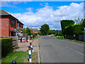
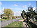
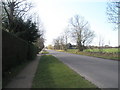
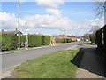
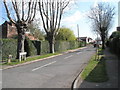
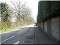
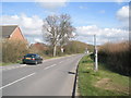
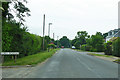
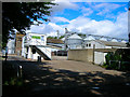
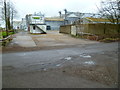
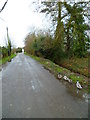
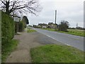
23 photos from this area
Area Information
Key information about the PO18 8RQ including its size, population, and administrative classification.
- Area Type
- Postcode
- Area Size
- 72.0 hectares
- Population
- 2093
- Population Density
- 745 people/km²
House Prices in PO18 8RQ
50
Properties
£442,475
Average Sold Price
£99,200
Lowest Price
£885,000
Highest Price
Showing 50 properties
| Address | Type | Beds | Baths | Last Sale Price | Last Sale Date | |
|---|---|---|---|---|---|---|
| Paddock View, Priors Leaze Lane, Hambrook, Chidham, PO18 8RQ | Mobile Home | - | - | £99,200 | Jun 2024 | |
| Coronation Cottage, Priors Leaze Lane, Hambrook, Chidham, PO18 8RQ | Detached | 4 | 2 | £480,000 | Nov 2023 | |
| Brook House, Priors Leaze Lane, Hambrook, Chidham, PO18 8RQ | Detached | 4 | 1 | £597,500 | Nov 2022 | |
| Tangle Trees, Priors Leaze Lane, Hambrook, Chidham, PO18 8RQ | Retail | 4 | - | £705,000 | Sep 2022 | |
| Springtide, Priors Leaze Lane, Hambrook, Chidham, PO18 8RQ | house | - | - | £446,000 | Jan 2020 | |
| The Acorn, Priors Leaze Lane, Hambrook, Chidham, PO18 8RQ | Detached | 6 | 3 | £885,000 | Dec 2019 | |
| Hangleton, Priors Leaze Lane, Hambrook, Chidham, PO18 8RQ | house | - | - | £416,000 | Aug 2019 | |
| The Den, Priors Leaze Lane, Hambrook, Chidham, PO18 8RQ | Detached | 4 | 1 | £475,000 | Nov 2017 | |
| Priorsleaze Cottage, Priors Leaze Lane, Hambrook, Chidham, PO18 8RQ | Detached | 4 | 3 | £410,000 | Oct 2017 | |
| Renwood House, Priors Leaze Lane, Hambrook, Chidham, PO18 8RQ | Detached | - | - | £422,000 | Sep 2017 |
Page 1 of 5
Energy Efficiency in PO18 8RQ
Amenities
Schools
| Rank | School | Type | Entry gender | Ages |
|---|
Explore more schools in this area
Go to Schools tabDemographics
Household Size
Two person
most common
Accommodation Type
Houses
most common
Tenure
77
majority
Ethnic Group
White
most common
Religion
N/A
most common
Household Composition
N/A
most common
Age
47
median
Adults (30-64 years)
most common
Household Deprivation
N/A
with no deprivation
NS-SEC
42
in Lower managerial occupations
Explore more demographic insights in this area
Go to Demographics tabPlanning
Planning Constraints
- Flood RiskPremium
- Ramsar Wetland SitesPremium
- Area of Outstanding Natural BeautyPremium
- Protected Nature ReservePremium
- Protected WoodlandPremium