Area Overview for PO10 7XH
Photos of PO10 7XH
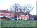
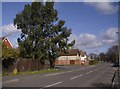
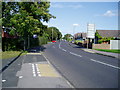
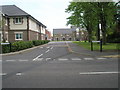
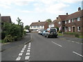
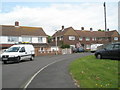
100 photos from this area
Area Information
Key information about the PO10 7XH including its size, population, and administrative classification.
- Area Type
- Postcode
- Area Size
- 8711 m²
- Population
- 2187
- Population Density
- 1473 people/km²
House Prices in PO10 7XH
25
Properties
£220,889
Average Sold Price
£50,000
Lowest Price
£325,000
Highest Price
Showing 25 properties
| Address | Type | Beds | Baths | Last Sale Price | Last Sale Date | |
|---|---|---|---|---|---|---|
| 4 Woolmer Street, Emsworth, PO10 7XH | Terraced | 3 | 1 | £325,000 | Aug 2025 | |
| 14 Woolmer Street, Emsworth, PO10 7XH | Terraced | 3 | 2 | £300,000 | Jun 2025 | |
| 22 Woolmer Street, Emsworth, PO10 7XH | house | - | - | £300,000 | Mar 2025 | |
| 11 Woolmer Street, Emsworth, PO10 7XH | Terraced | 3 | 1 | £225,000 | Oct 2019 | |
| 6 Woolmer Street, Emsworth, PO10 7XH | Terraced | 3 | 1 | £250,000 | Nov 2017 | |
| 16 Woolmer Street, Emsworth, PO10 7XH | Terraced | 4 | 2 | £208,000 | Sep 2014 | |
| 13 Woolmer Street, Emsworth, PO10 7XH | Terraced | 3 | - | £165,000 | Dec 2013 | |
| 18 Woolmer Street, Emsworth, PO10 7XH | Terraced | - | - | £165,000 | Aug 2008 | |
| 1 Woolmer Street, Emsworth, PO10 7XH | Terraced | - | - | £50,000 | Mar 1996 | |
| 20 Woolmer Street, Emsworth, PO10 7XH | house | - | - | - | - |
Page 1 of 3
Energy Efficiency in PO10 7XH
Amenities
Schools
| Rank | School | Type | Entry gender | Ages |
|---|
Explore more schools in this area
Go to Schools tabDemographics
Household Size
Two person
most common
Accommodation Type
Houses
most common
Tenure
79
majority
Ethnic Group
White
most common
Religion
N/A
most common
Household Composition
N/A
most common
Age
47
median
Adults (30-64 years)
most common
Household Deprivation
N/A
with no deprivation
NS-SEC
41
in Lower managerial occupations
Explore more demographic insights in this area
Go to Demographics tabPlanning
Planning Constraints
- Flood RiskPremium
- Ramsar Wetland SitesPremium
- Area of Outstanding Natural BeautyPremium
- Protected Nature ReservePremium
- Protected WoodlandPremium