Area Overview for OX5 2SZ
Photos of OX5 2SZ
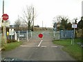
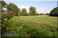
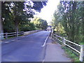
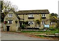
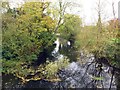
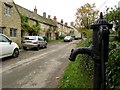
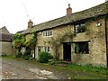
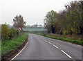
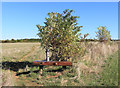
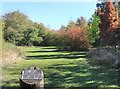
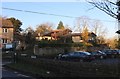
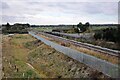
44 photos from this area
Area Information
Key information about the OX5 2SZ including its size, population, and administrative classification.
- Area Type
- Postcode
- Area Size
- 3.0 hectares
- Population
- 1227
- Population Density
- 80 people/km²
House Prices in OX5 2SZ
25
Properties
£744,125
Average Sold Price
£170,000
Lowest Price
£2,600,000
Highest Price
Showing 25 properties
| Address | Type | Beds | Baths | Last Sale Price | Last Sale Date | |
|---|---|---|---|---|---|---|
| 2 Mill Street, Islip, OX5 2SZ | Terraced | 3 | 1 | £462,500 | Dec 2020 | |
| Raybourne House, Mill Street, Islip, OX5 2SZ | Detached | 6 | 4 | £2,600,000 | Nov 2020 | |
| The Pound, Mill Street, Islip, OX5 2SZ | house | - | - | £1,015,000 | Jul 2019 | |
| Crossways, Mill Street, Islip, OX5 2SZ | Cottage | 2 | 1 | £407,500 | Jun 2018 | |
| The Mallards, 1 Mill Street, Islip, OX5 2SZ | Terraced | 3 | 2 | £560,000 | May 2017 | |
| Hornes Cottage, 10 Mill Street, Islip, OX5 2SZ | Detached | 4 | 2 | £470,000 | Jan 2015 | |
| Rivermead, 1A Mill Street, Islip, OX5 2SZ | Terraced | 4 | - | £625,000 | Oct 2014 | |
| Appleyard, Mill Street, Islip, OX5 2SZ | house | - | - | £960,000 | Jul 2014 | |
| Lyndhurst, 5 Mill Street, Islip, OX5 2SZ | Cottage | 3 | 2 | £360,000 | May 2014 | |
| Meadow House, Mill Street, Islip, OX5 2SZ | house | - | - | £815,000 | Apr 2010 |
Page 1 of 3
Energy Efficiency in OX5 2SZ
Amenities
Schools
| Rank | School | Type | Entry gender | Ages |
|---|
Explore more schools in this area
Go to Schools tabDemographics
Household Size
Two person
most common
Accommodation Type
Houses
most common
Tenure
82
majority
Ethnic Group
White
most common
Religion
N/A
most common
Household Composition
N/A
most common
Age
47
median
Adults (30-64 years)
most common
Household Deprivation
N/A
with no deprivation
NS-SEC
52
in Lower managerial occupations
Explore more demographic insights in this area
Go to Demographics tabPlanning
Planning Constraints
- Flood RiskPremium
- Ramsar Wetland SitesPremium
- Area of Outstanding Natural BeautyPremium
- Protected Nature ReservePremium
- Protected WoodlandPremium