Area Overview for OX4 1HR
Photos of OX4 1HR
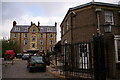
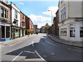

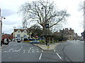


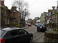
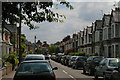

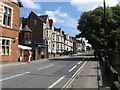
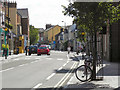
100 photos from this area
Area Information
Key information about the OX4 1HR including its size, population, and administrative classification.
- Area Type
- Postcode
- Area Size
- 5093 m²
- Population
- 1222
- Population Density
- 6692 people/km²
House Prices in OX4 1HR
32
Properties
£297,643
Average Sold Price
£35,000
Lowest Price
£630,000
Highest Price
Showing 32 properties
| Address | Type | Beds | Baths | Last Sale Price | Last Sale Date | |
|---|---|---|---|---|---|---|
| 73 Cowley Road, Oxford, OX4 1HR | Terraced | 5 | 2 | £630,000 | Mar 2015 | |
| 79 Cowley Road, Oxford, OX4 1HR | Terraced | 6 | 2 | £548,000 | Nov 2010 | |
| 71 Cowley Road, Oxford, OX4 1HR | house | - | - | £305,000 | Aug 2005 | |
| 75B Cowley Road, Oxford, OX4 1HR | Flat | - | - | £215,000 | May 2005 | |
| 77 Cowley Road, Oxford, OX4 1HR | house | - | - | £210,500 | Mar 2002 | |
| The Flat, 65 Cowley Road, Oxford, OX4 1HR | Flat | 4 | 1 | £35,000 | Dec 1997 | |
| 69 Cowley Road, Oxford, OX4 1HR | Terraced | 4 | 2 | £140,000 | Sep 1995 | |
| Flat 3, 59-63 Cowley Road, Oxford, OX4 1HR | Flat | 3 | 2 | - | - | |
| The Flat, 75 Cowley Road, Oxford, OX4 1HR | Flat | 3 | 1 | - | - | |
| 116 Cowley Road, Oxford, OX4 1HR | undefined | - | - | - | - |
Page 1 of 4
Energy Efficiency in OX4 1HR
Amenities
Schools
| Rank | School | Type | Entry gender | Ages |
|---|
Explore more schools in this area
Go to Schools tabDemographics
Household Size
One person
most common
Accommodation Type
Houses
most common
Tenure
22
majority
Ethnic Group
White
most common
Religion
N/A
most common
Household Composition
N/A
most common
Age
22
median
Young Adults (15-29 years)
most common
Household Deprivation
N/A
with no deprivation
NS-SEC
30
in Lower managerial occupations
Explore more demographic insights in this area
Go to Demographics tabPlanning
Planning Constraints
- Flood RiskPremium
- Ramsar Wetland SitesPremium
- Area of Outstanding Natural BeautyPremium
- Protected Nature ReservePremium
- Protected WoodlandPremium