Area Overview for OX29 9UN
Photos of OX29 9UN
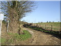
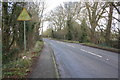
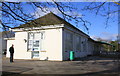
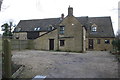
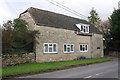
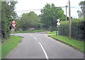
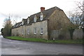
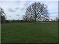
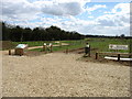
16 photos from this area
Area Information
Key information about the OX29 9UN including its size, population, and administrative classification.
- Area Type
- Postcode
- Area Size
- 14.5 hectares
- Population
- 1108
- Population Density
- 81 people/km²
House Prices in OX29 9UN
16
Properties
£350,455
Average Sold Price
£160,000
Lowest Price
£660,000
Highest Price
Showing 16 properties
| Address | Type | Beds | Baths | Last Sale Price | Last Sale Date | |
|---|---|---|---|---|---|---|
| 2 Foxburrow Lane, Hailey, OX29 9UN | Semi-detached | 3 | 2 | £440,000 | Jun 2023 | |
| Robindown, 9 Foxburrow Lane, Hailey, OX29 9UN | Detached | 4 | 2 | £660,000 | Jun 2021 | |
| The Briars, 6B Foxburrow Lane, Hailey, OX29 9UN | Bungalow | 3 | 2 | £443,000 | Jul 2019 | |
| Clematis Cottage, 11 Foxburrow Lane, Hailey, OX29 9UN | Detached | 4 | 2 | £420,000 | Dec 2014 | |
| 6 Foxburrow Lane, Hailey, OX29 9UN | Semi-detached | - | - | £375,000 | Aug 2014 | |
| Foxmeade, Foxburrow Lane, Hailey, OX29 9UN | Bungalow | - | - | £450,000 | Jun 2008 | |
| 4 Foxburrow Lane, Hailey, OX29 9UN | house | - | - | £206,000 | Feb 2007 | |
| 5 Foxburrow Lane, Hailey, OX29 9UN | Semi-detached | 3 | 1 | £220,000 | Jul 2006 | |
| 8 Foxburrow Lane, Hailey, OX29 9UN | Detached | - | - | £245,000 | Oct 2005 | |
| 1 Foxburrow Lane, Hailey, OX29 9UN | Semi-detached | - | - | £236,000 | Mar 2004 |
Page 1 of 2
Energy Efficiency in OX29 9UN
Amenities
Schools
| Rank | School | Type | Entry gender | Ages |
|---|
Explore more schools in this area
Go to Schools tabDemographics
Household Size
Two person
most common
Accommodation Type
Houses
most common
Tenure
82
majority
Ethnic Group
White
most common
Religion
N/A
most common
Household Composition
N/A
most common
Age
47
median
Adults (30-64 years)
most common
Household Deprivation
N/A
with no deprivation
NS-SEC
45
in Lower managerial occupations
Explore more demographic insights in this area
Go to Demographics tabPlanning
Planning Constraints
- Flood RiskPremium
- Ramsar Wetland SitesPremium
- Area of Outstanding Natural BeautyPremium
- Protected Nature ReservePremium
- Protected WoodlandPremium