Area Overview for OX29 8EP
Photos of OX29 8EP
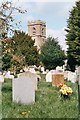
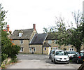
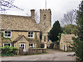
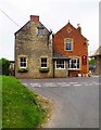
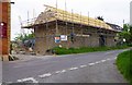
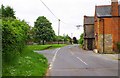
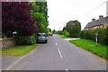
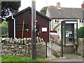
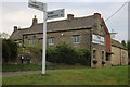
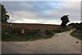
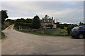
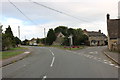
68 photos from this area
Area Information
Key information about the OX29 8EP including its size, population, and administrative classification.
- Area Type
- Postcode
- Area Size
- 1.3 hectares
- Population
- 1532
- Population Density
- 65 people/km²
House Prices in OX29 8EP
14
Properties
£468,636
Average Sold Price
£242,000
Lowest Price
£825,000
Highest Price
Showing 14 properties
| Address | Type | Beds | Baths | Last Sale Price | Last Sale Date | |
|---|---|---|---|---|---|---|
| The Laurels, 11 Wootton End, Stonesfield, OX29 8EP | Detached | 4 | 1 | £550,000 | Sep 2025 | |
| 5 Wootton End, Stonesfield, OX29 8EP | Detached | 4 | 2 | £570,000 | Jan 2025 | |
| 3 Wootton End, Stonesfield, OX29 8EP | Detached | 4 | 2 | £825,000 | Apr 2024 | |
| 8 Wootton End, Stonesfield, OX29 8EP | Detached | 4 | - | £448,000 | Sep 2013 | |
| 15 Wootton End, Stonesfield, OX29 8EP | house | 5 | - | £415,000 | Nov 2012 | |
| 6 Wootton End, Stonesfield, OX29 8EP | Bungalow | 4 | - | £460,000 | Sep 2012 | |
| The Farleys, 9 Wootton End, Stonesfield, OX29 8EP | house | 4 | - | £440,000 | Jun 2012 | |
| Solaise, 14 Wootton End, Stonesfield, OX29 8EP | Detached | - | - | £390,000 | Jul 2008 | |
| 7 Wootton End, Stonesfield, OX29 8EP | Detached | - | - | £475,000 | May 2007 | |
| 2 Wootton End, Stonesfield, OX29 8EP | Detached | 5 | 2 | £340,000 | Jul 2004 |
Page 1 of 2
Energy Efficiency in OX29 8EP
Amenities
Schools
| Rank | School | Type | Entry gender | Ages |
|---|
Explore more schools in this area
Go to Schools tabDemographics
Household Size
Two person
most common
Accommodation Type
Houses
most common
Tenure
63
majority
Ethnic Group
White
most common
Religion
N/A
most common
Household Composition
N/A
most common
Age
47
median
Adults (30-64 years)
most common
Household Deprivation
N/A
with no deprivation
NS-SEC
40
in Lower managerial occupations
Explore more demographic insights in this area
Go to Demographics tabPlanning
Planning Constraints
- Flood RiskPremium
- Ramsar Wetland SitesPremium
- Area of Outstanding Natural BeautyPremium
- Protected Nature ReservePremium
- Protected WoodlandPremium