Area Overview for OX29 8EF
Photos of OX29 8EF
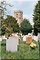
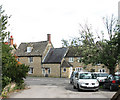
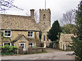
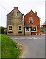
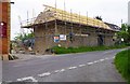
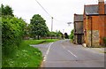
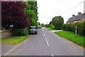
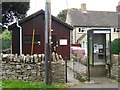
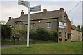
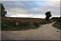
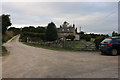
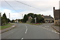
68 photos from this area
Area Information
Key information about the OX29 8EF including its size, population, and administrative classification.
- Area Type
- Postcode
- Area Size
- 3.7 hectares
- Population
- 1532
- Population Density
- 65 people/km²
House Prices in OX29 8EF
69
Properties
£236,259
Average Sold Price
£64,000
Lowest Price
£486,000
Highest Price
Showing 69 properties
| Address | Type | Beds | Baths | Last Sale Price | Last Sale Date | |
|---|---|---|---|---|---|---|
| 62 Longore, Stonesfield, OX29 8EF | Terraced | 2 | 1 | £275,000 | Jul 2024 | |
| 56 Longore, Stonesfield, OX29 8EF | Bungalow | 2 | 1 | £203,000 | Dec 2021 | |
| 9 Longore, Stonesfield, OX29 8EF | Semi-detached | 4 | 3 | £486,000 | Sep 2021 | |
| 19 Longore, Stonesfield, OX29 8EF | Semi-detached | 3 | 3 | £405,750 | Jul 2020 | |
| 12 Longore, Stonesfield, OX29 8EF | house | 2 | 1 | £249,950 | Apr 2019 | |
| 50 Longore, Stonesfield, OX29 8EF | Terraced | 3 | 1 | £297,500 | Jun 2017 | |
| 10 Longore, Stonesfield, OX29 8EF | Semi-detached | 3 | 1 | £289,950 | Jul 2015 | |
| 24 Longore, Stonesfield, OX29 8EF | Semi-detached | 4 | 3 | £385,000 | Jun 2015 | |
| 63 Longore, Stonesfield, OX29 8EF | Terraced | 2 | - | £220,000 | Jul 2014 | |
| Lark Rise, 24A Longore, Stonesfield, OX29 8EF | Terraced | 4 | 2 | £290,000 | Jun 2013 |
Page 1 of 7
Energy Efficiency in OX29 8EF
Amenities
Schools
| Rank | School | Type | Entry gender | Ages |
|---|
Explore more schools in this area
Go to Schools tabDemographics
Household Size
Two person
most common
Accommodation Type
Houses
most common
Tenure
63
majority
Ethnic Group
White
most common
Religion
N/A
most common
Household Composition
N/A
most common
Age
47
median
Adults (30-64 years)
most common
Household Deprivation
N/A
with no deprivation
NS-SEC
40
in Lower managerial occupations
Explore more demographic insights in this area
Go to Demographics tabPlanning
Planning Constraints
- Flood RiskPremium
- Ramsar Wetland SitesPremium
- Area of Outstanding Natural BeautyPremium
- Protected Nature ReservePremium
- Protected WoodlandPremium