Area Overview for OX29 4PA
Photos of OX29 4PA
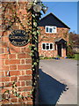
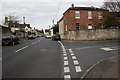
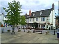
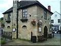
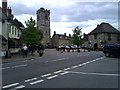
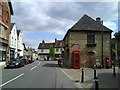
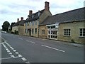
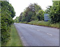
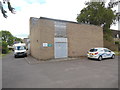
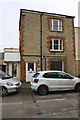
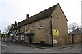
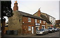
100 photos from this area
Area Information
Key information about the OX29 4PA including its size, population, and administrative classification.
- Area Type
- Postcode
- Area Size
- 2886 m²
- Population
- 1574
- Population Density
- 5548 people/km²
House Prices in OX29 4PA
23
Properties
£256,540
Average Sold Price
£16,333
Lowest Price
£391,000
Highest Price
Showing 23 properties
| Address | Type | Beds | Baths | Last Sale Price | Last Sale Date | |
|---|---|---|---|---|---|---|
| 8 Acre End Street, Eynsham, OX29 4PA | Terraced | 3 | 1 | £385,000 | Nov 2024 | |
| 44 Acre End Street, Eynsham, OX29 4PA | Semi-detached | 4 | 2 | £335,000 | Sep 2024 | |
| 30 Acre End Street, Eynsham, OX29 4PA | Terraced | 2 | 1 | £295,000 | Aug 2024 | |
| 40 Acre End Street, Eynsham, OX29 4PA | Terraced | 2 | 1 | £265,000 | Oct 2023 | |
| 14 Acre End Street, Eynsham, OX29 4PA | house | - | - | £370,000 | May 2022 | |
| 26 Acre End Street, Eynsham, OX29 4PA | Terraced | 2 | 1 | £275,000 | Jan 2022 | |
| 4 Acre End Street, Eynsham, OX29 4PA | Terraced | 2 | 1 | £245,000 | Jan 2022 | |
| 32 Acre End Street, Eynsham, OX29 4PA | Terraced | 2 | - | £265,000 | Jul 2021 | |
| 34 Acre End Street, Eynsham, OX29 4PA | house | - | - | £295,000 | Aug 2017 | |
| 36 Acre End Street, Eynsham, OX29 4PA | house | - | - | £260,000 | Nov 2016 |
Page 1 of 3
Energy Efficiency in OX29 4PA
Amenities
Schools
| Rank | School | Type | Entry gender | Ages |
|---|
Explore more schools in this area
Go to Schools tabDemographics
Household Size
Two person
most common
Accommodation Type
Houses
most common
Tenure
71
majority
Ethnic Group
White
most common
Religion
N/A
most common
Household Composition
N/A
most common
Age
47
median
Adults (30-64 years)
most common
Household Deprivation
N/A
with no deprivation
NS-SEC
38
in Lower managerial occupations
Explore more demographic insights in this area
Go to Demographics tabPlanning
Planning Constraints
- Flood RiskPremium
- Ramsar Wetland SitesPremium
- Area of Outstanding Natural BeautyPremium
- Protected Nature ReservePremium
- Protected WoodlandPremium