Area Overview for OX28 6LN
Photos of OX28 6LN
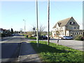
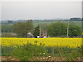
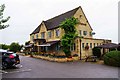
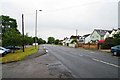
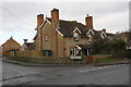

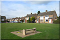
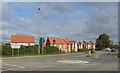
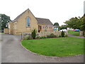
21 photos from this area
Area Information
Key information about the OX28 6LN including its size, population, and administrative classification.
- Area Type
- Postcode
- Area Size
- 1.3 hectares
- Population
- 2327
- Population Density
- 2829 people/km²
House Prices in OX28 6LN
32
Properties
£304,933
Average Sold Price
£66,950
Lowest Price
£465,000
Highest Price
Showing 32 properties
| Address | Type | Beds | Baths | Last Sale Price | Last Sale Date | |
|---|---|---|---|---|---|---|
| 33 Moorland Close, Witney, OX28 6LN | Detached | 4 | 3 | £420,000 | Aug 2023 | |
| 1 Moorland Close, Witney, OX28 6LN | Detached | 3 | 3 | £465,000 | Jun 2021 | |
| 35 Moorland Close, Witney, OX28 6LN | house | 3 | - | £380,000 | Dec 2019 | |
| 4 Moorland Close, Witney, OX28 6LN | Detached | 4 | 1 | £335,000 | Jan 2017 | |
| 3 Moorland Close, Witney, OX28 6LN | Semi-detached | 3 | - | £320,000 | Mar 2016 | |
| 6 Moorland Close, Witney, OX28 6LN | house | 4 | 2 | £395,000 | Feb 2015 | |
| 17 Moorland Close, Witney, OX28 6LN | Detached | 3 | - | £340,000 | Apr 2014 | |
| Saikile, 29 Moorland Close, Witney, OX28 6LN | house | - | - | £395,000 | Oct 2013 | |
| 37 Moorland Close, Witney, OX28 6LN | Detached | 4 | 4 | £404,550 | May 2013 | |
| 8 Moorland Close, Witney, OX28 6LN | Detached | 2 | 2 | £229,000 | Jan 2010 |
Page 1 of 4
Energy Efficiency in OX28 6LN
Amenities
Schools
| Rank | School | Type | Entry gender | Ages |
|---|
Explore more schools in this area
Go to Schools tabDemographics
Household Size
Two person
most common
Accommodation Type
Houses
most common
Tenure
66
majority
Ethnic Group
White
most common
Religion
N/A
most common
Household Composition
N/A
most common
Age
47
median
Adults (30-64 years)
most common
Household Deprivation
N/A
with no deprivation
NS-SEC
35
in Lower managerial occupations
Explore more demographic insights in this area
Go to Demographics tabPlanning
Planning Constraints
- Flood RiskPremium
- Ramsar Wetland SitesPremium
- Area of Outstanding Natural BeautyPremium
- Protected Nature ReservePremium
- Protected WoodlandPremium