Area Overview for OX28 5EA
Photos of OX28 5EA
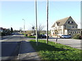
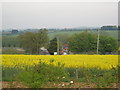
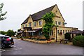
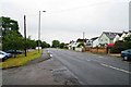
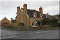

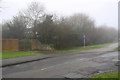
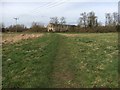
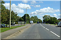
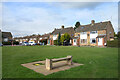
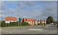
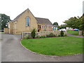
21 photos from this area
Area Information
Key information about the OX28 5EA including its size, population, and administrative classification.
- Area Type
- Postcode
- Area Size
- 3710 m²
- Population
- 2327
- Population Density
- 2829 people/km²
House Prices in OX28 5EA
15
Properties
£228,030
Average Sold Price
£129,950
Lowest Price
£342,500
Highest Price
Showing 15 properties
| Address | Type | Beds | Baths | Last Sale Price | Last Sale Date | |
|---|---|---|---|---|---|---|
| 3, Tower Court, Tower Hill, Witney, OX28 5EA | Terraced | 3 | 2 | £342,500 | Oct 2023 | |
| 11, Tower Court, Tower Hill, Witney, OX28 5EA | Semi-detached | 3 | - | £300,000 | Mar 2023 | |
| 12, Tower Court, Tower Hill, Witney, OX28 5EA | house | - | - | £331,500 | May 2022 | |
| 16, Tower Court, Tower Hill, Witney, OX28 5EA | Terraced | 3 | 2 | £310,000 | Feb 2022 | |
| 6, Tower Court, Tower Hill, Witney, OX28 5EA | Flat | 2 | 2 | £215,000 | Jun 2021 | |
| 2, Tower Court, Tower Hill, Witney, OX28 5EA | Terraced | 3 | - | £278,000 | Sep 2015 | |
| 10, Tower Court, Tower Hill, Witney, OX28 5EA | Flat | - | - | £129,950 | Oct 2011 | |
| 7, Tower Court, Tower Hill, Witney, OX28 5EA | Flat | - | - | £160,000 | Nov 2010 | |
| 15, Tower Court, Tower Hill, Witney, OX28 5EA | Terraced | 3 | - | £230,000 | Aug 2008 | |
| 9, Tower Court, Tower Hill, Witney, OX28 5EA | Flat | - | - | £166,000 | Jul 2006 |
Page 1 of 2
Energy Efficiency in OX28 5EA
Amenities
Schools
| Rank | School | Type | Entry gender | Ages |
|---|
Explore more schools in this area
Go to Schools tabDemographics
Household Size
Two person
most common
Accommodation Type
Houses
most common
Tenure
66
majority
Ethnic Group
White
most common
Religion
N/A
most common
Household Composition
N/A
most common
Age
47
median
Adults (30-64 years)
most common
Household Deprivation
N/A
with no deprivation
NS-SEC
35
in Lower managerial occupations
Explore more demographic insights in this area
Go to Demographics tabPlanning
Planning Constraints
- Flood RiskPremium
- Ramsar Wetland SitesPremium
- Area of Outstanding Natural BeautyPremium
- Protected Nature ReservePremium
- Protected WoodlandPremium