Area Overview for OX26 3XS
Photos of OX26 3XS


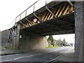
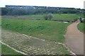
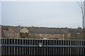
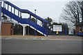
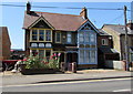
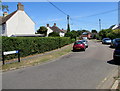
86 photos from this area
Area Information
Key information about the OX26 3XS including its size, population, and administrative classification.
- Area Type
- Postcode
- Area Size
- 4390 m²
- Population
- 1442
- Population Density
- 7188 people/km²
House Prices in OX26 3XS
28
Properties
£185,202
Average Sold Price
£43,250
Lowest Price
£325,000
Highest Price
Showing 28 properties
| Address | Type | Beds | Baths | Last Sale Price | Last Sale Date | |
|---|---|---|---|---|---|---|
| 5 Sycamore Gardens, Bicester, OX26 3XS | Terraced | 1 | 1 | £220,000 | Nov 2025 | |
| 17 Sycamore Gardens, Bicester, OX26 3XS | Terraced | 1 | 1 | £218,000 | Sep 2025 | |
| 19 Sycamore Gardens, Bicester, OX26 3XS | Semi-detached | 1 | 1 | £190,000 | Jul 2024 | |
| 6 Sycamore Gardens, Bicester, OX26 3XS | Terraced | 2 | 1 | £280,000 | Dec 2022 | |
| 7 Sycamore Gardens, Bicester, OX26 3XS | Terraced | 1 | 1 | £210,000 | Sep 2022 | |
| 11 Sycamore Gardens, Bicester, OX26 3XS | Terraced | 1 | 1 | £200,000 | Dec 2021 | |
| 12 Sycamore Gardens, Bicester, OX26 3XS | Terraced | 3 | 1 | £260,000 | Sep 2021 | |
| 8 Sycamore Gardens, Bicester, OX26 3XS | house | - | - | £197,000 | Feb 2021 | |
| 9 Sycamore Gardens, Bicester, OX26 3XS | Terraced | 2 | 1 | £257,500 | Feb 2021 | |
| 2 Sycamore Gardens, Bicester, OX26 3XS | Detached | 3 | 1 | £290,000 | Jul 2019 |
Page 1 of 3
Energy Efficiency in OX26 3XS
Amenities
Schools
| Rank | School | Type | Entry gender | Ages |
|---|
Explore more schools in this area
Go to Schools tabDemographics
Household Size
Two person
most common
Accommodation Type
Houses
most common
Tenure
60
majority
Ethnic Group
White
most common
Religion
N/A
most common
Household Composition
N/A
most common
Age
47
median
Adults (30-64 years)
most common
Household Deprivation
N/A
with no deprivation
NS-SEC
36
in Lower managerial occupations
Explore more demographic insights in this area
Go to Demographics tabPlanning
Planning Constraints
- Flood RiskPremium
- Ramsar Wetland SitesPremium
- Area of Outstanding Natural BeautyPremium
- Protected Nature ReservePremium
- Protected WoodlandPremium