Area Overview for OX18 2HA
Photos of OX18 2HA

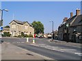
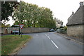
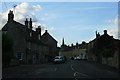
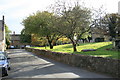
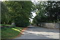
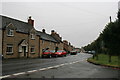
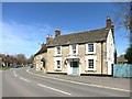
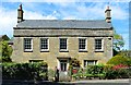
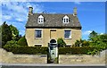
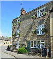
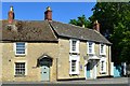
100 photos from this area
Area Information
Key information about the OX18 2HA including its size, population, and administrative classification.
- Area Type
- Postcode
- Area Size
- 5.4 hectares
- Population
- 1732
- Population Density
- 166 people/km²
House Prices in OX18 2HA
47
Properties
£387,016
Average Sold Price
£147,000
Lowest Price
£770,000
Highest Price
Showing 47 properties
| Address | Type | Beds | Baths | Last Sale Price | Last Sale Date | |
|---|---|---|---|---|---|---|
| 4, Castle Field, Bridge Street, Bampton, OX18 2HA | house | - | - | £506,000 | Mar 2025 | |
| Little Barn, Bridge Street, Bampton, OX18 2HA | house | - | - | £445,000 | Aug 2024 | |
| Sherborne Villa, Bridge Street, Bampton, OX18 2HA | house | - | - | £770,000 | Oct 2023 | |
| The Cottage, Bridge Street, Bampton, OX18 2HA | Terraced | 2 | 1 | £338,500 | Jan 2023 | |
| Sweetbriar Cottage, Bridge Street, Bampton, OX18 2HA | Detached | 3 | 1 | £383,540 | Dec 2022 | |
| Diggers End, Bridge Street, Bampton, OX18 2HA | Cottage | 2 | 1 | £280,000 | Aug 2022 | |
| Fernlea Barn, Bridge Street, Bampton, OX18 2HA | Semi-detached | 3 | - | £380,000 | Oct 2020 | |
| Firtrees, Bridge Street, Bampton, OX18 2HA | Detached | 3 | 2 | £575,000 | Nov 2019 | |
| Hythe House, Bridge Street, Bampton, OX18 2HA | house | - | - | £282,500 | Oct 2018 | |
| Oban, Bridge Street, Bampton, OX18 2HA | house | - | - | £542,732 | Mar 2018 |
Page 1 of 5
Energy Efficiency in OX18 2HA
Amenities
Schools
| Rank | School | Type | Entry gender | Ages |
|---|
Explore more schools in this area
Go to Schools tabDemographics
Household Size
Two person
most common
Accommodation Type
Houses
most common
Tenure
80
majority
Ethnic Group
White
most common
Religion
N/A
most common
Household Composition
N/A
most common
Age
47
median
Adults (30-64 years)
most common
Household Deprivation
N/A
with no deprivation
NS-SEC
45
in Lower managerial occupations
Explore more demographic insights in this area
Go to Demographics tabPlanning
Planning Constraints
- Flood RiskPremium
- Ramsar Wetland SitesPremium
- Area of Outstanding Natural BeautyPremium
- Protected Nature ReservePremium
- Protected WoodlandPremium